Storm Chase Details
Miles Logged: 717
States Chased: MO
Tornadoes Witnessed: 3
Storm Mode: Supercell - HP
Severe Risks: SPC Outlooks
Severe Reports: Storm Reports
I made a reasonable forecast to be north of Wichita on the 8th, but ended up staying home to hang out with my trucker buddy in town. Salina ended up measuring winds greater than 100mph and had a brief tornado. This gave me the resolve to head out for a couple days on Tuesday the 9th. I expected to be chasing in Iowa Wednesday, but started off by getting a hotel in Kansas City the night of the 9th. I arrived into Kansas City after 10pm and stopped off at the Waffle House. I took the 10th off work and slept in, not rolling out until check out time.
Hanging out in Cameron
I loaded up vehicle at the hotel and then headed northbound on I-35. I wouldn’t need to go far. A morning MCS was going through the target area in southern Iowa/Northern Missouri laying down an outflow boundary as well as leaving behind backed winds in its wake. I found my way to the Shell in Cameron and hung out in the parking lot there for what seemed like hours.
18Z/1pm CDT SPC Mesoanalysis, Satellite and Sounding Data
The 18Z sounding from Topeka was interesting, with significant turning in the low levels. A weakness at 700mb never is good, but judging from mesoanalysis, it might have been a tad bit stronger in Northwest Missouri.
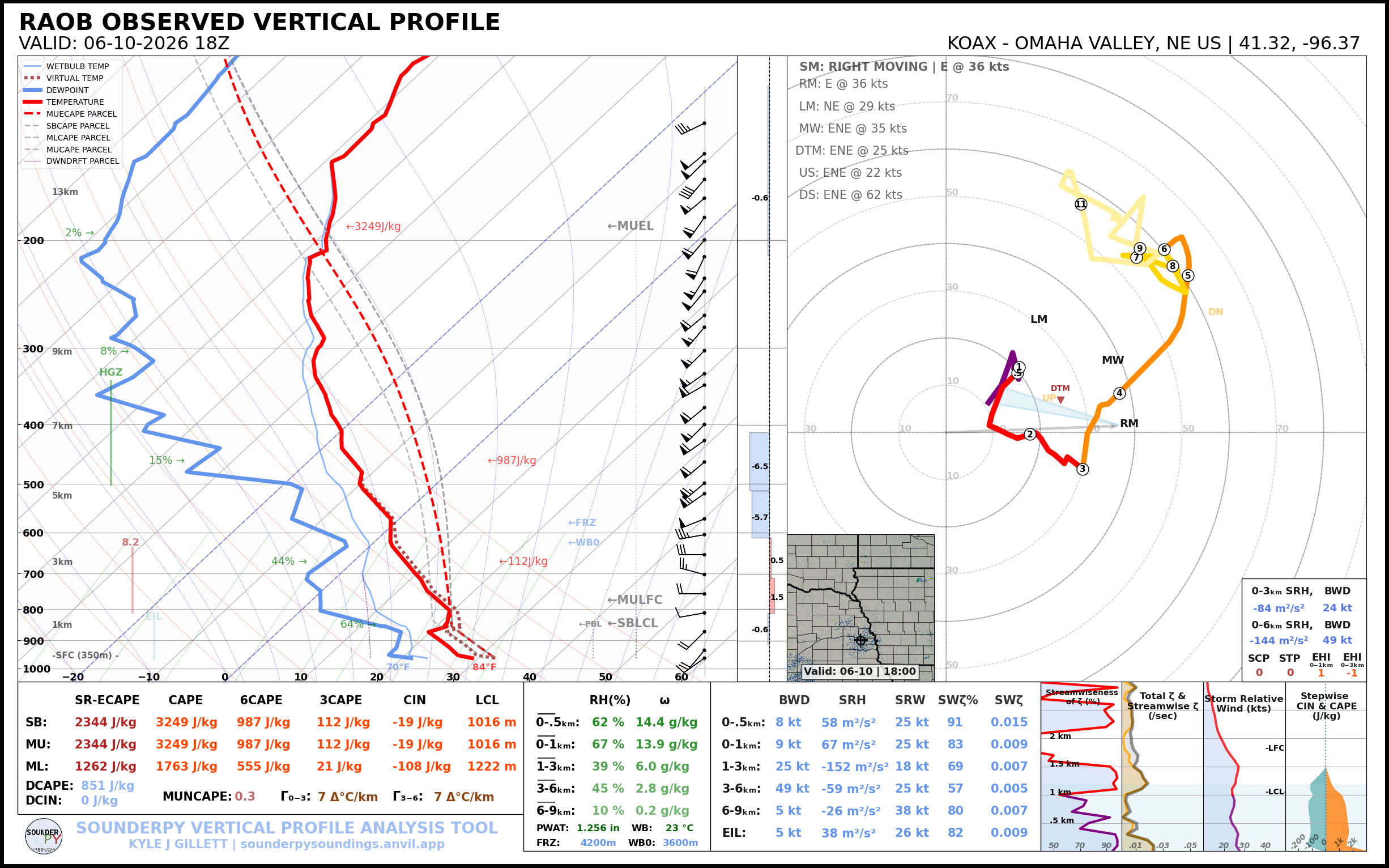
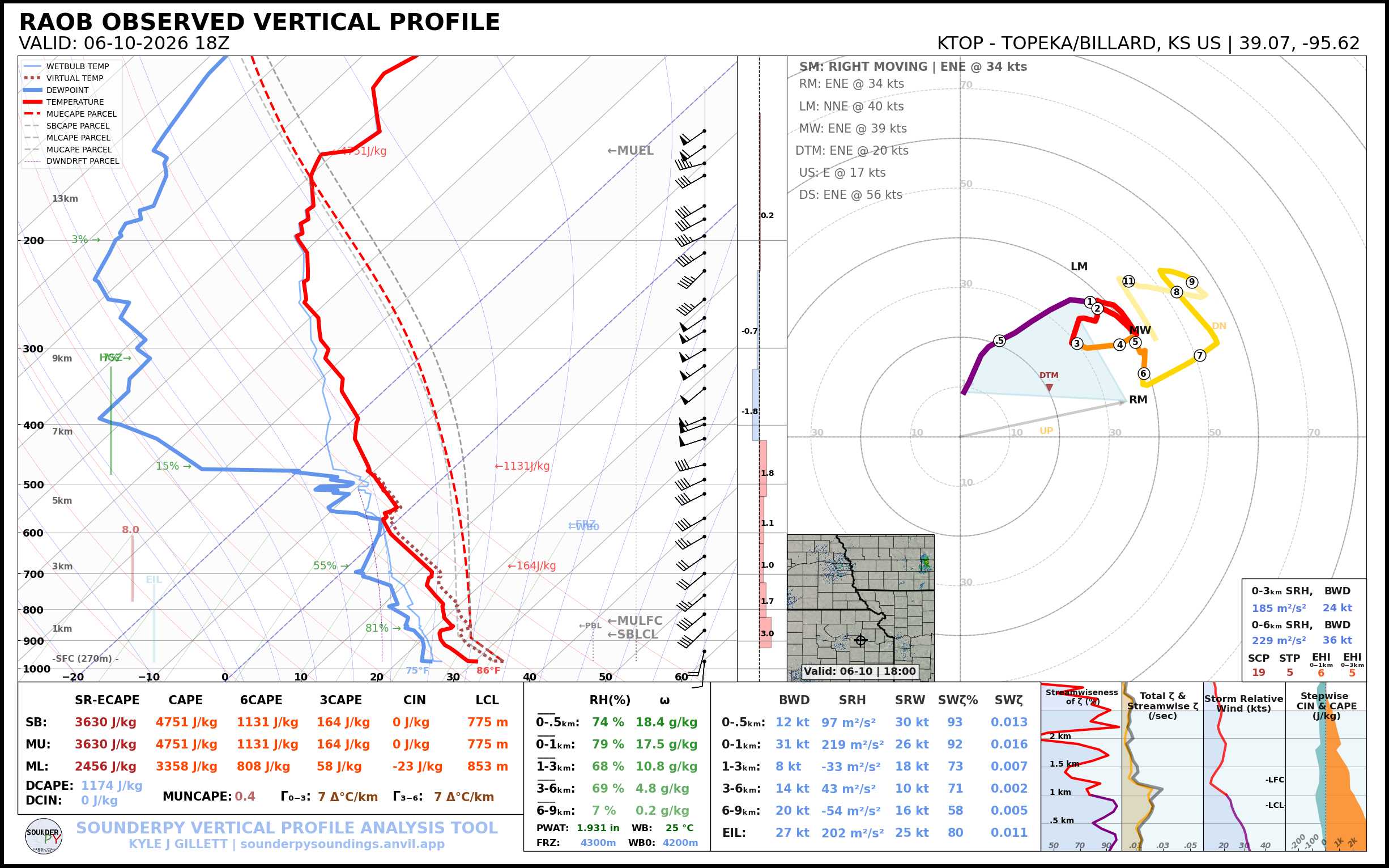
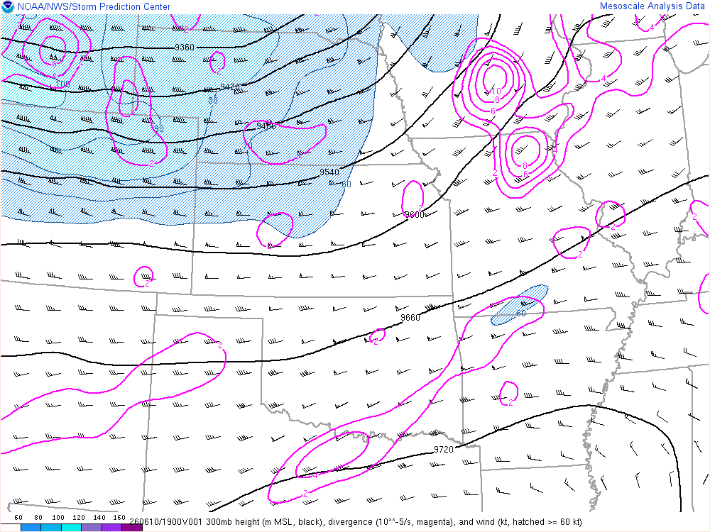
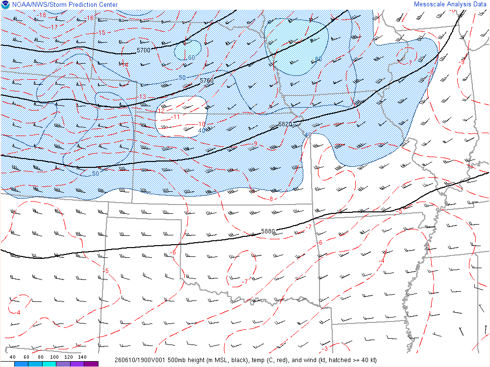
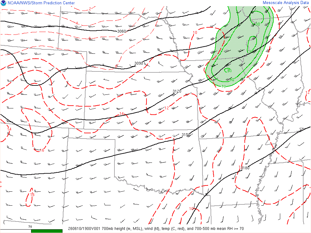
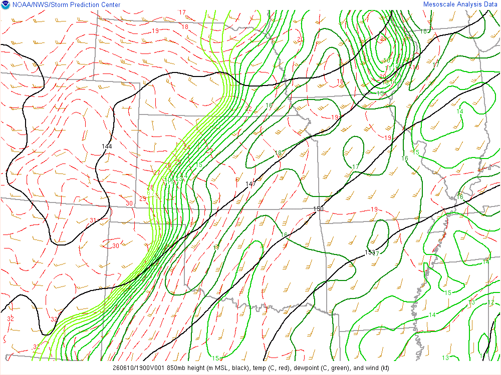
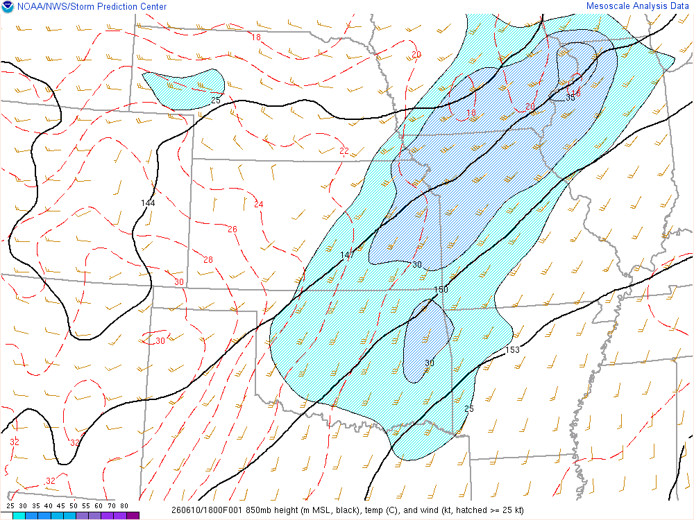
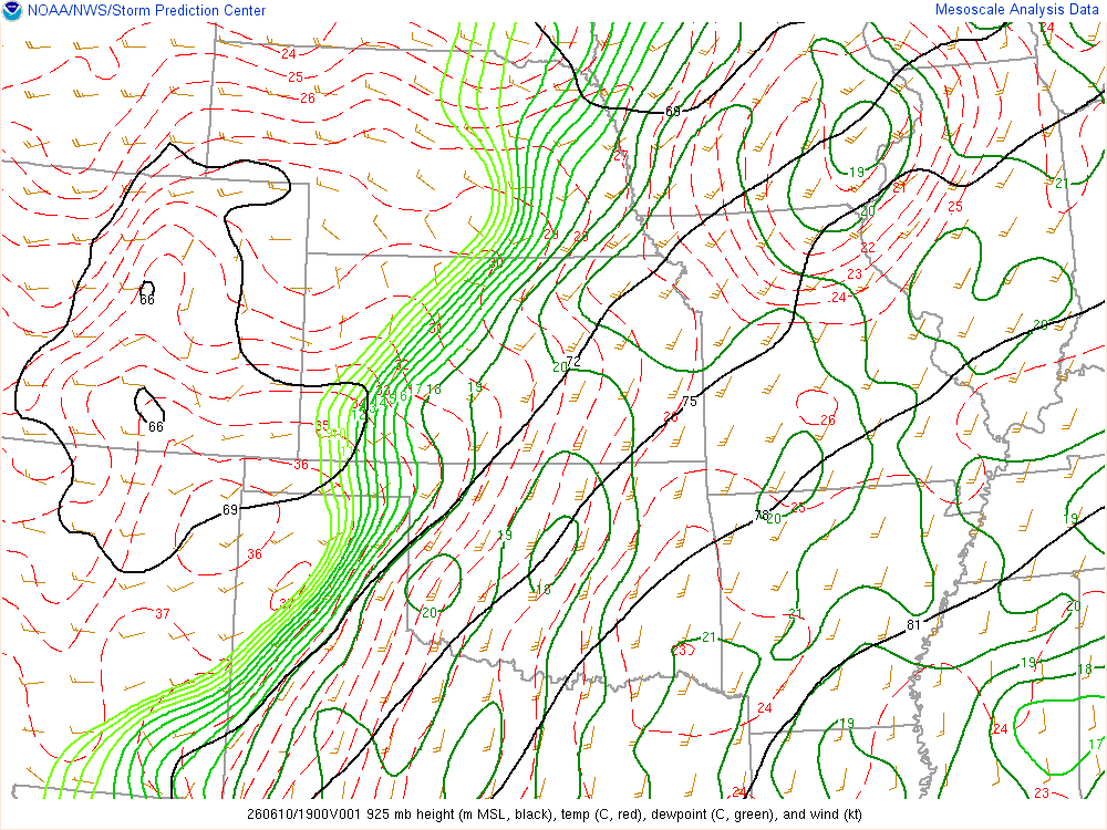
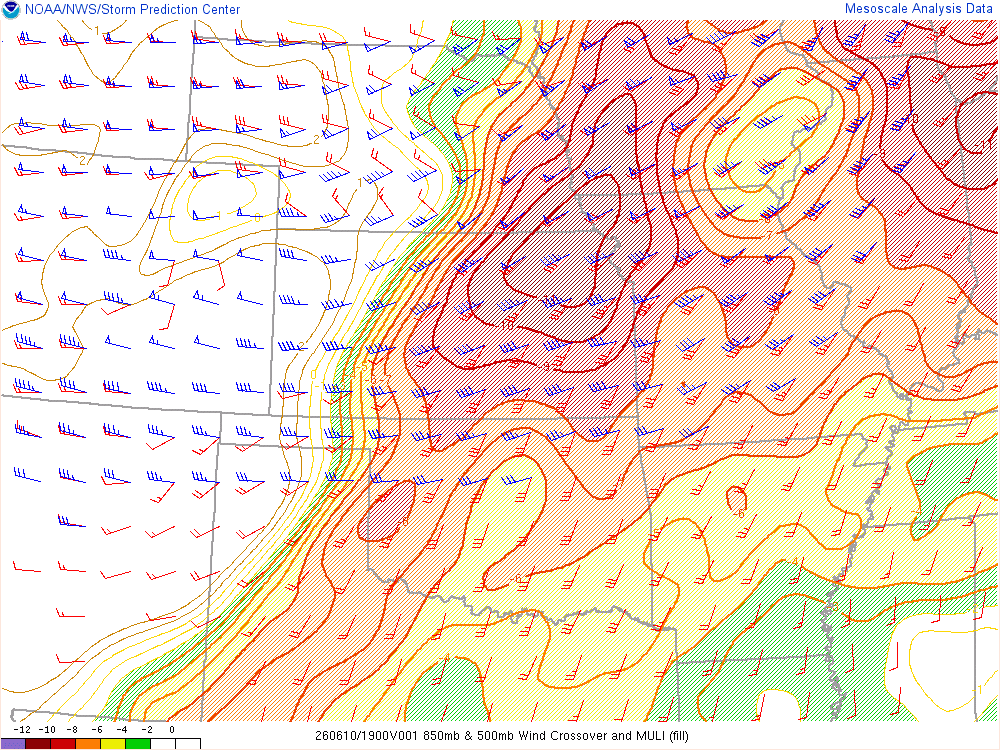
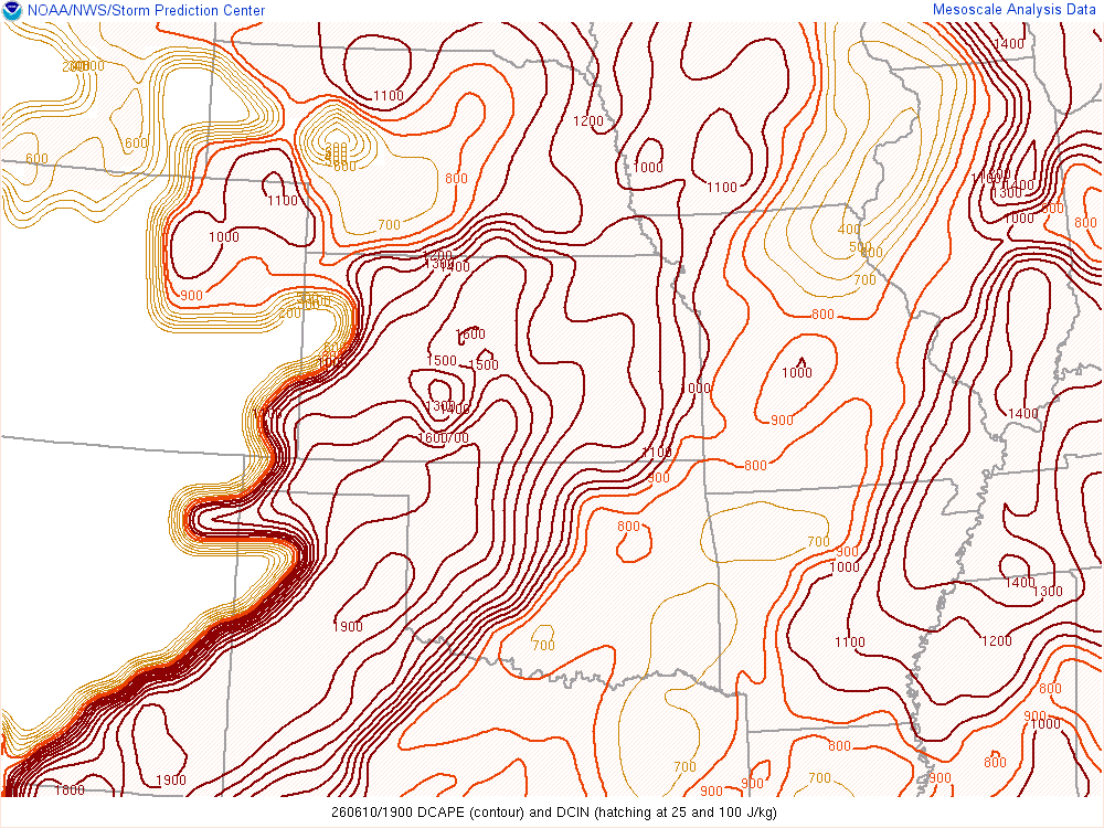
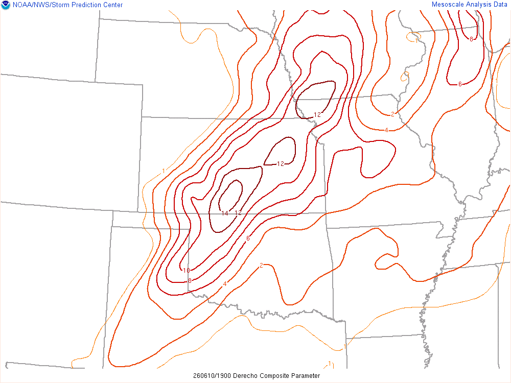
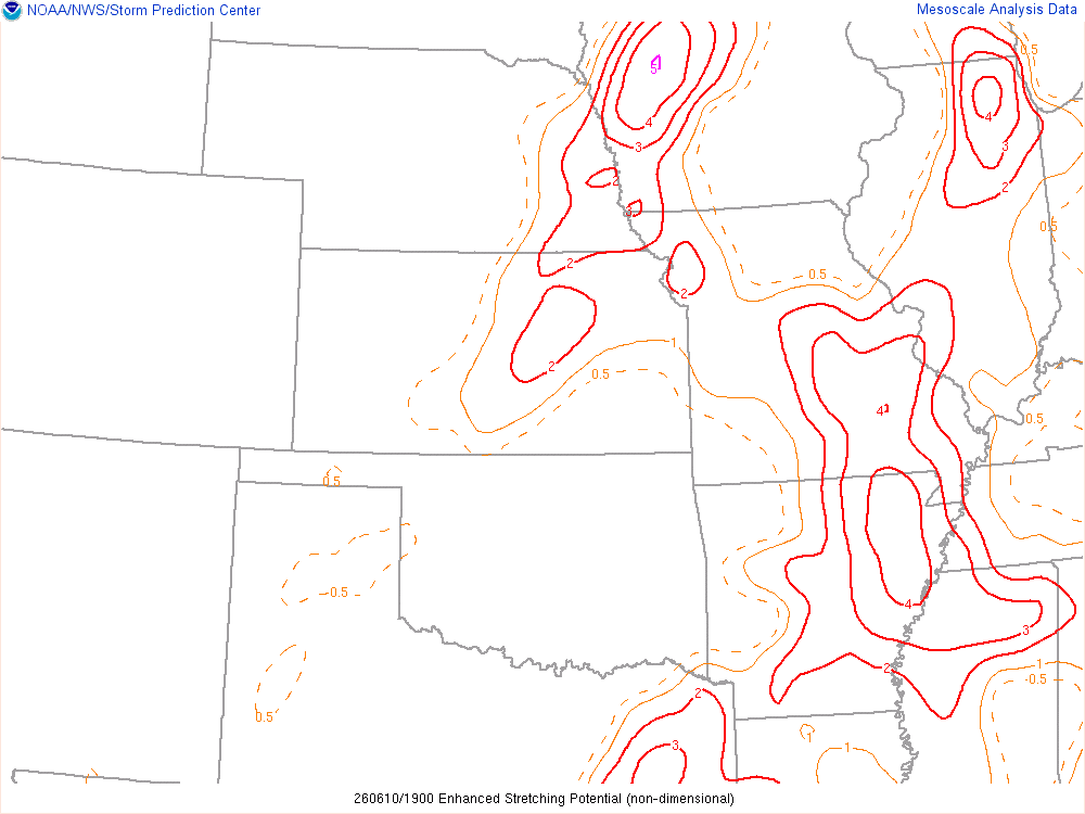
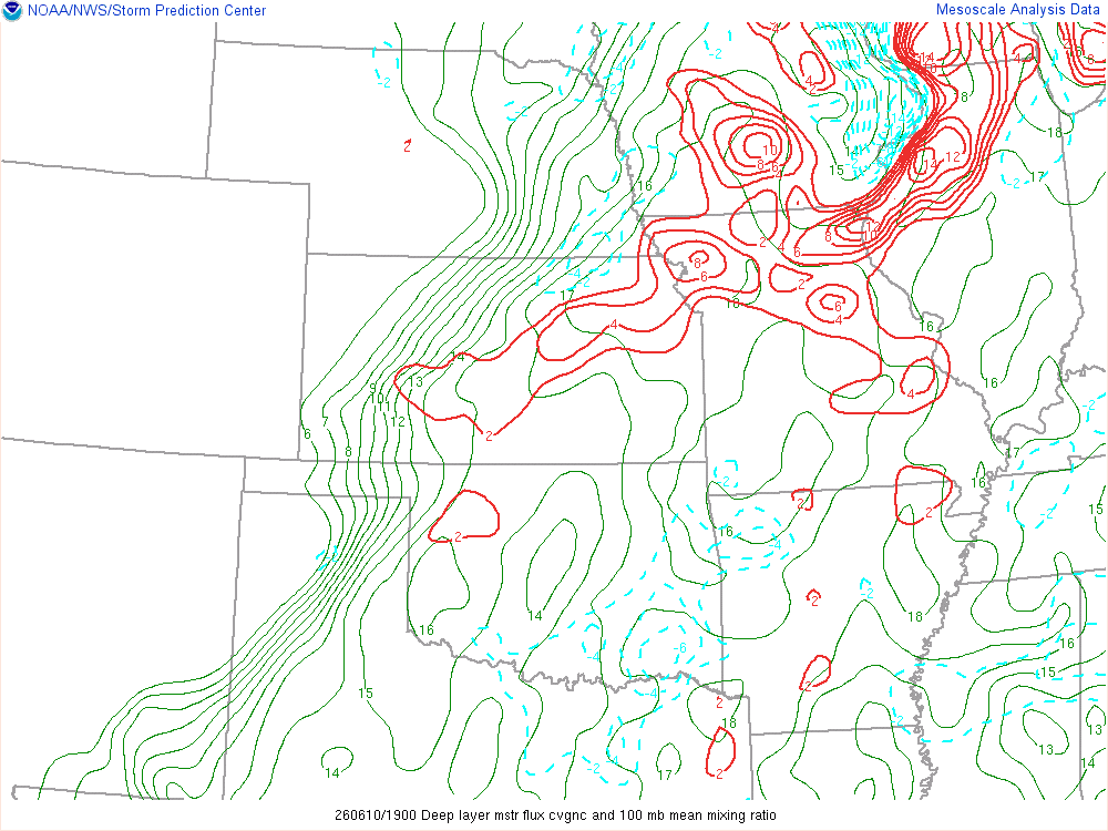
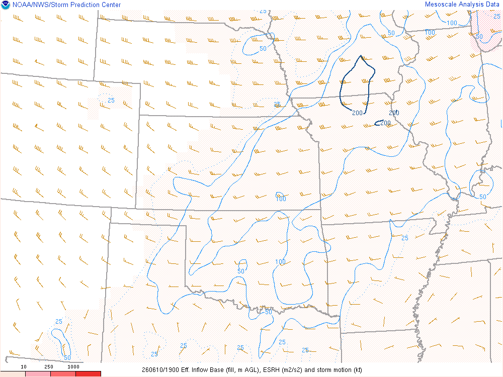
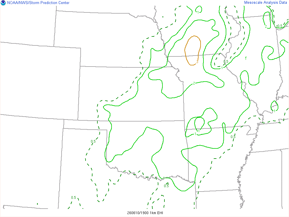
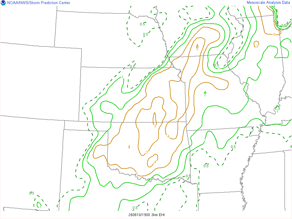
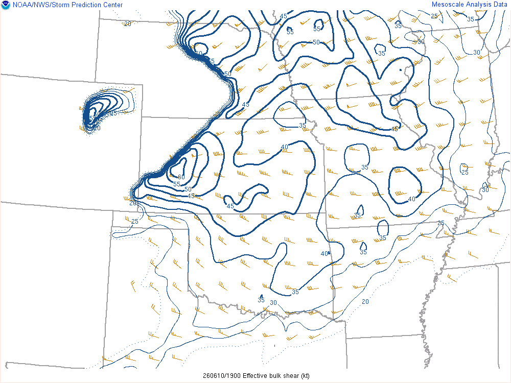
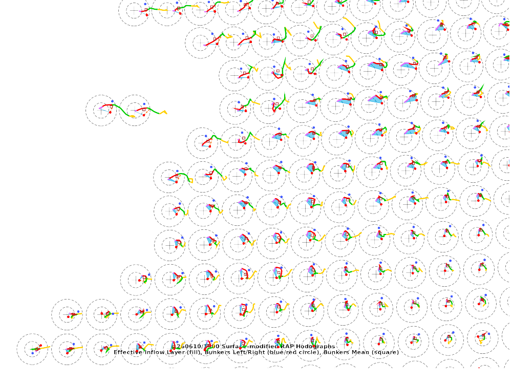
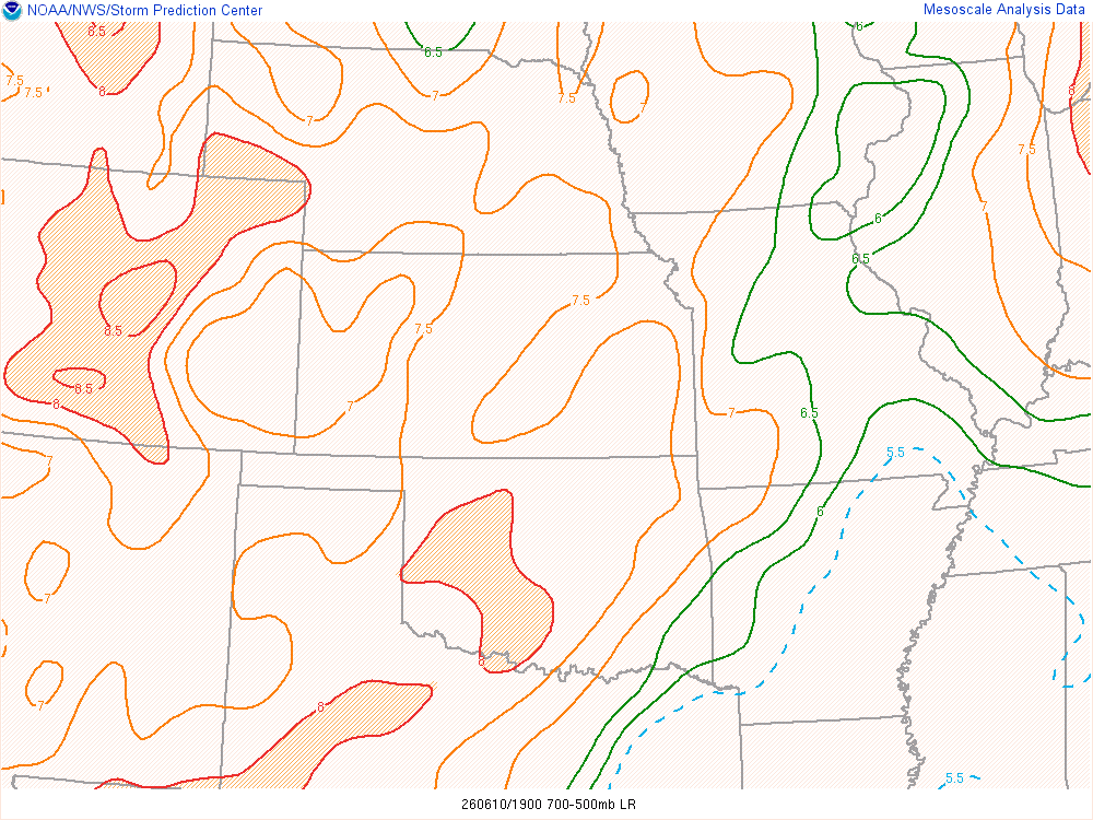
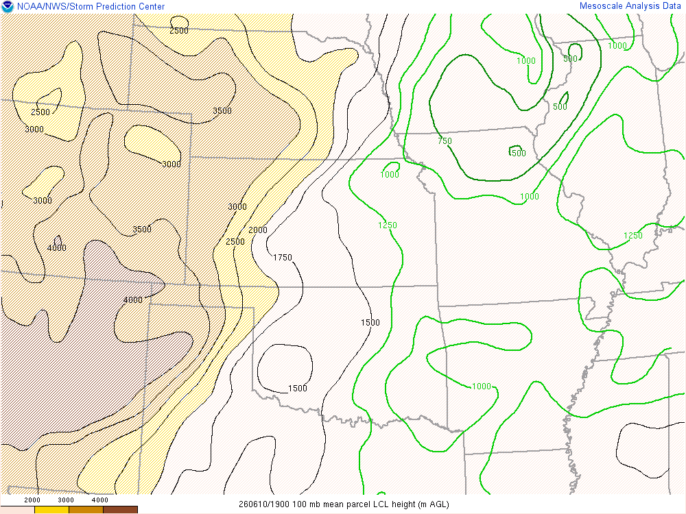
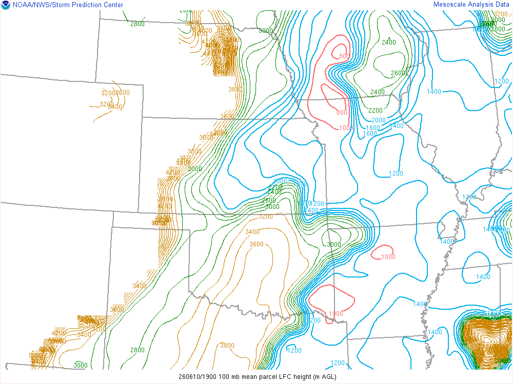
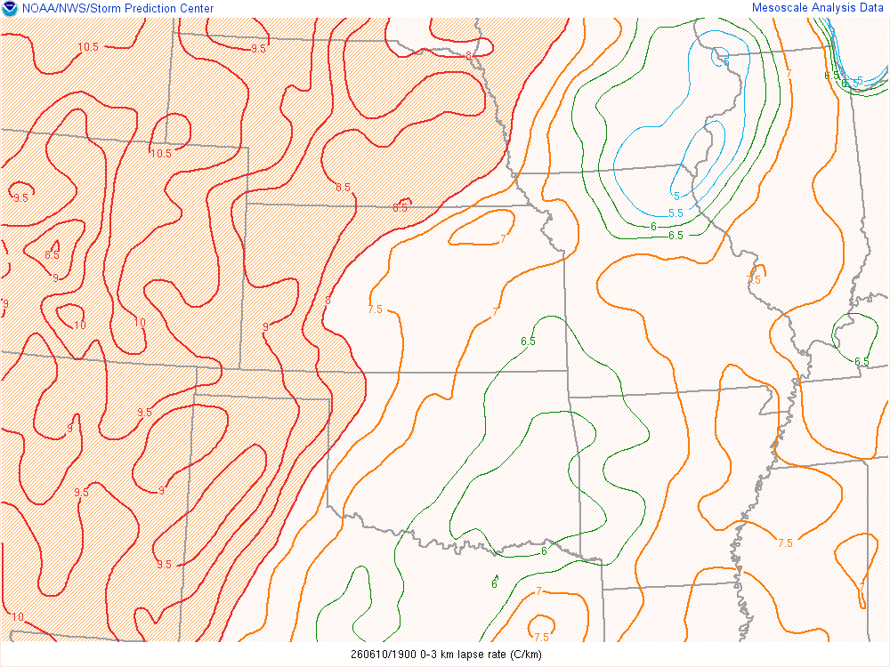
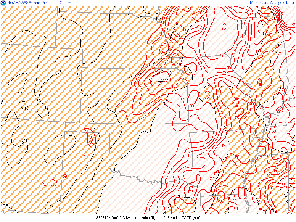
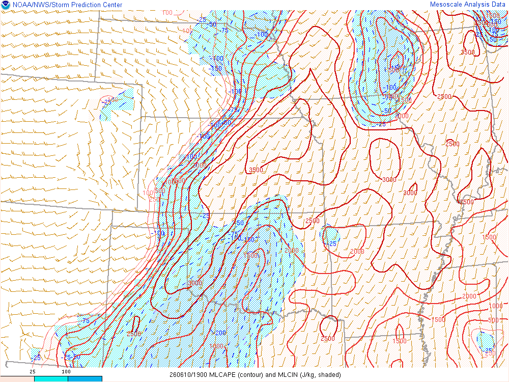
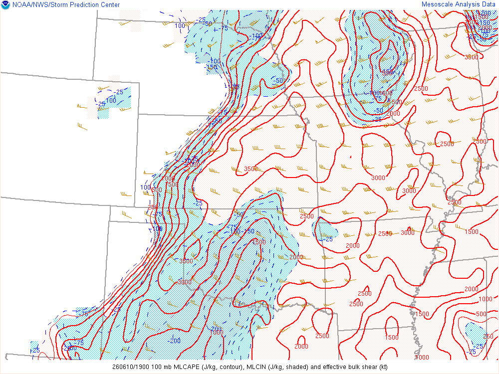
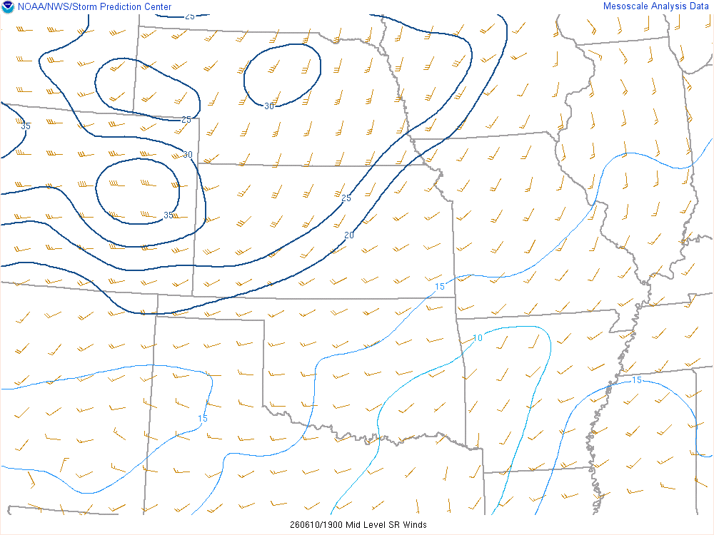
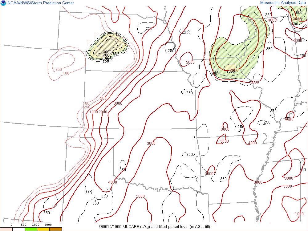
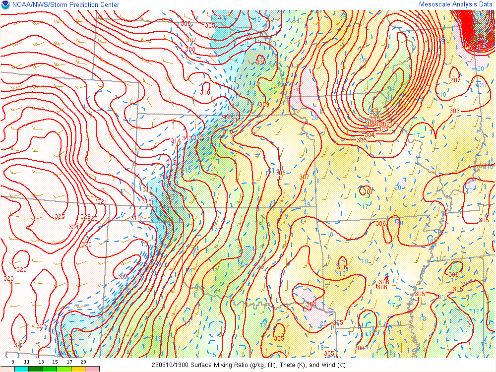
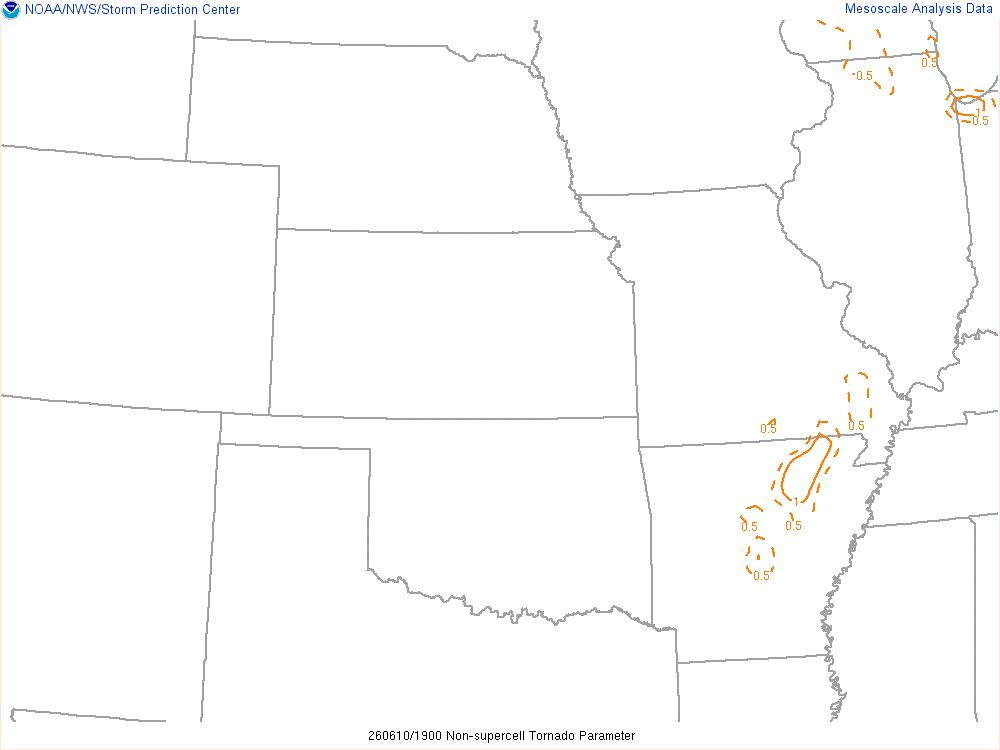
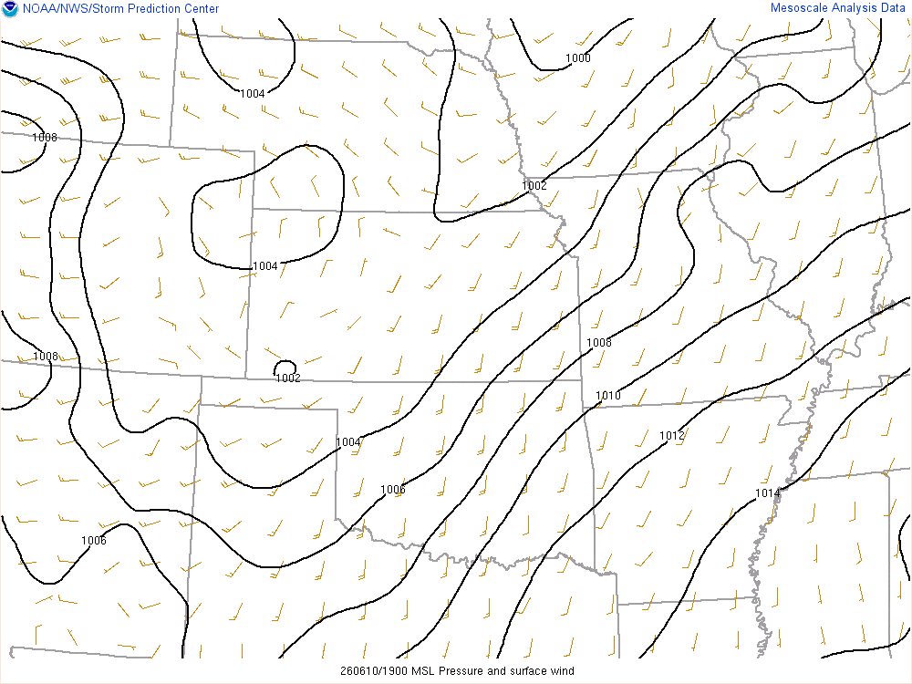
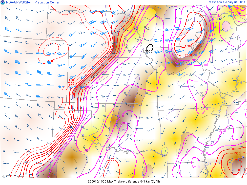
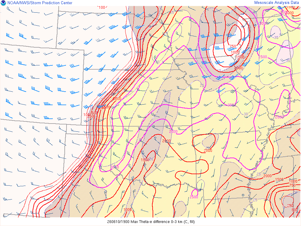
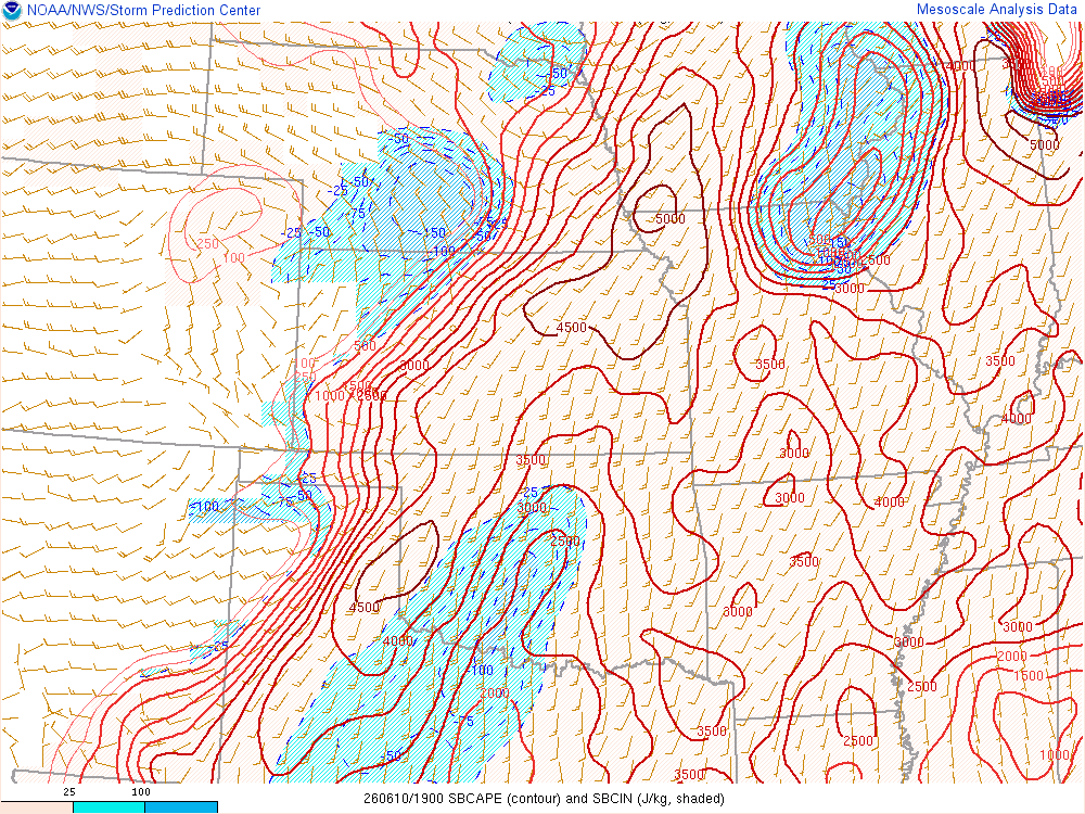
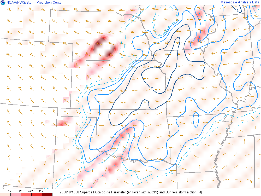
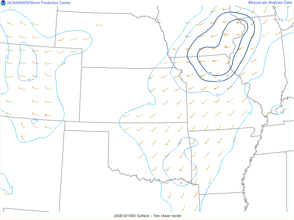
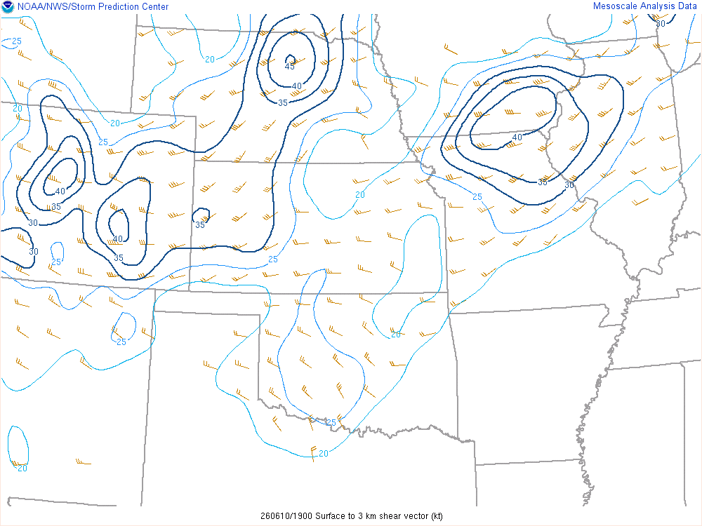
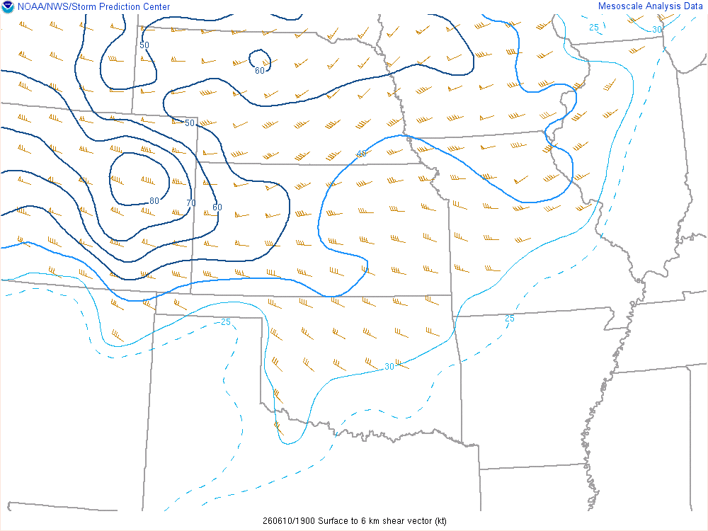
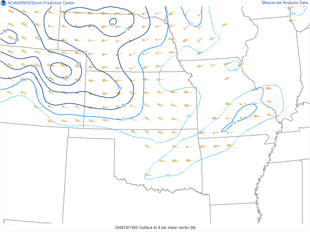
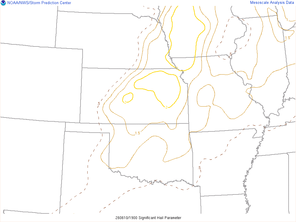
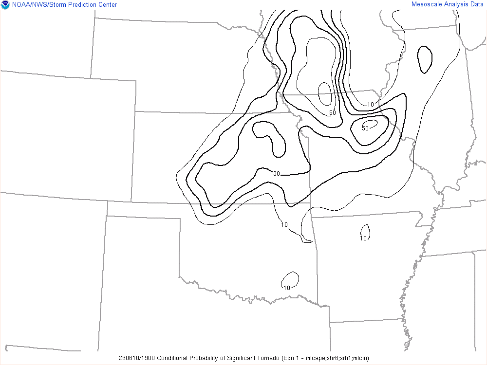
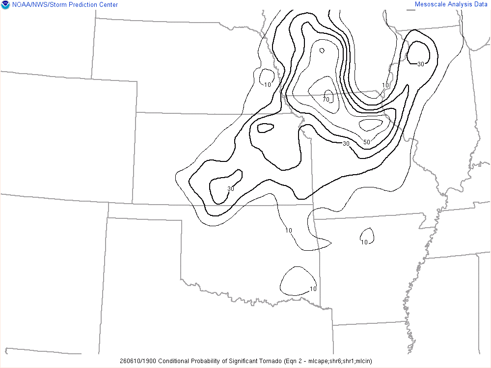
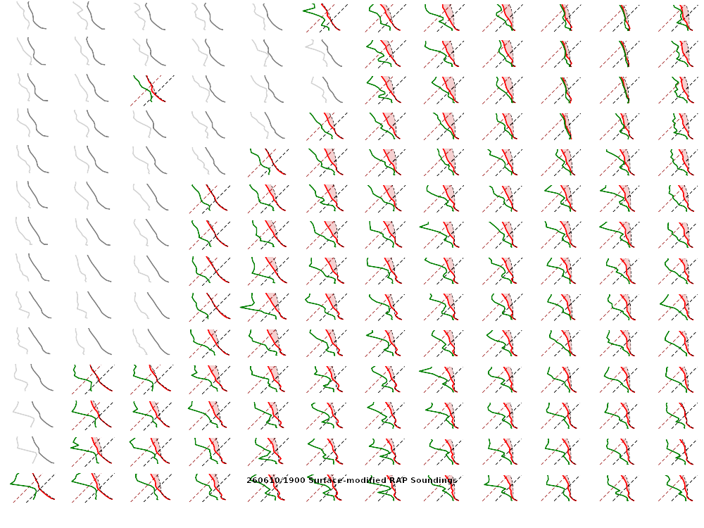
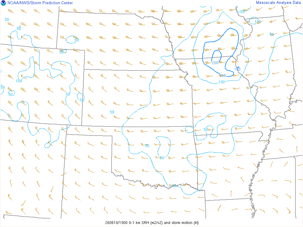
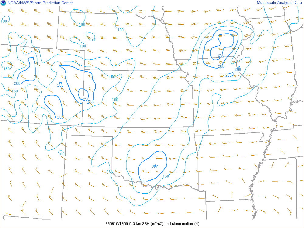
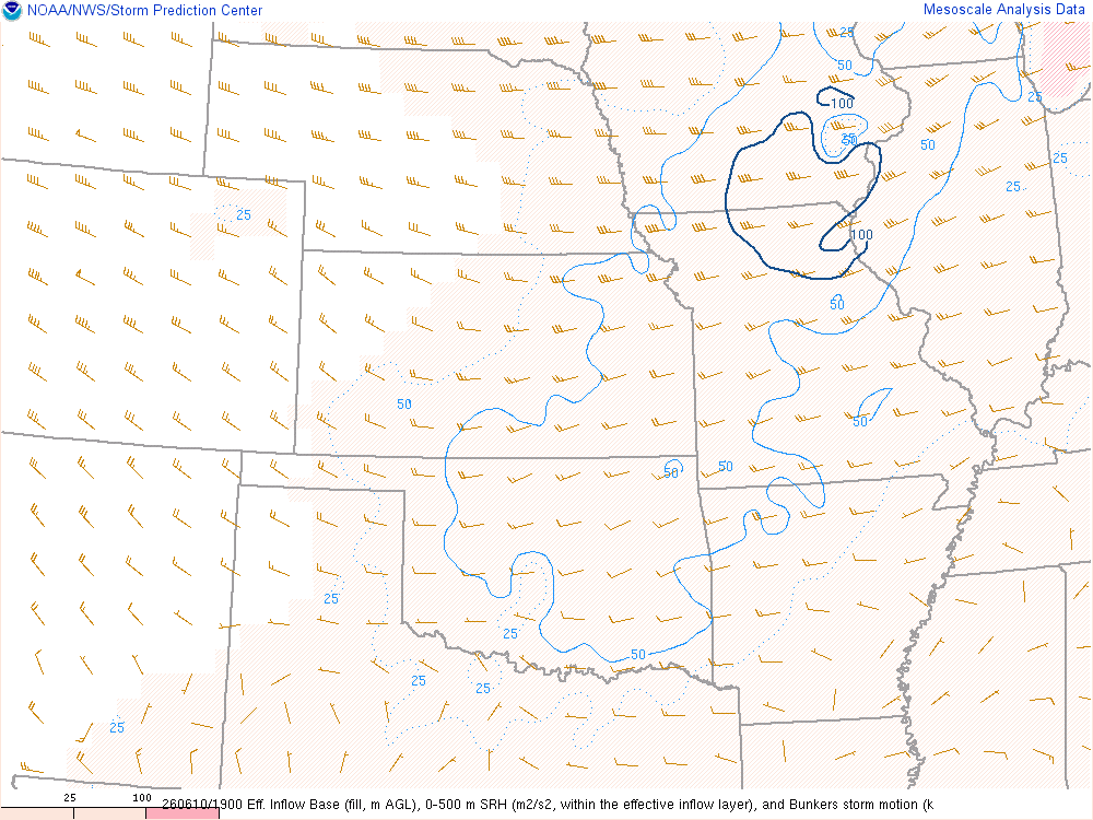
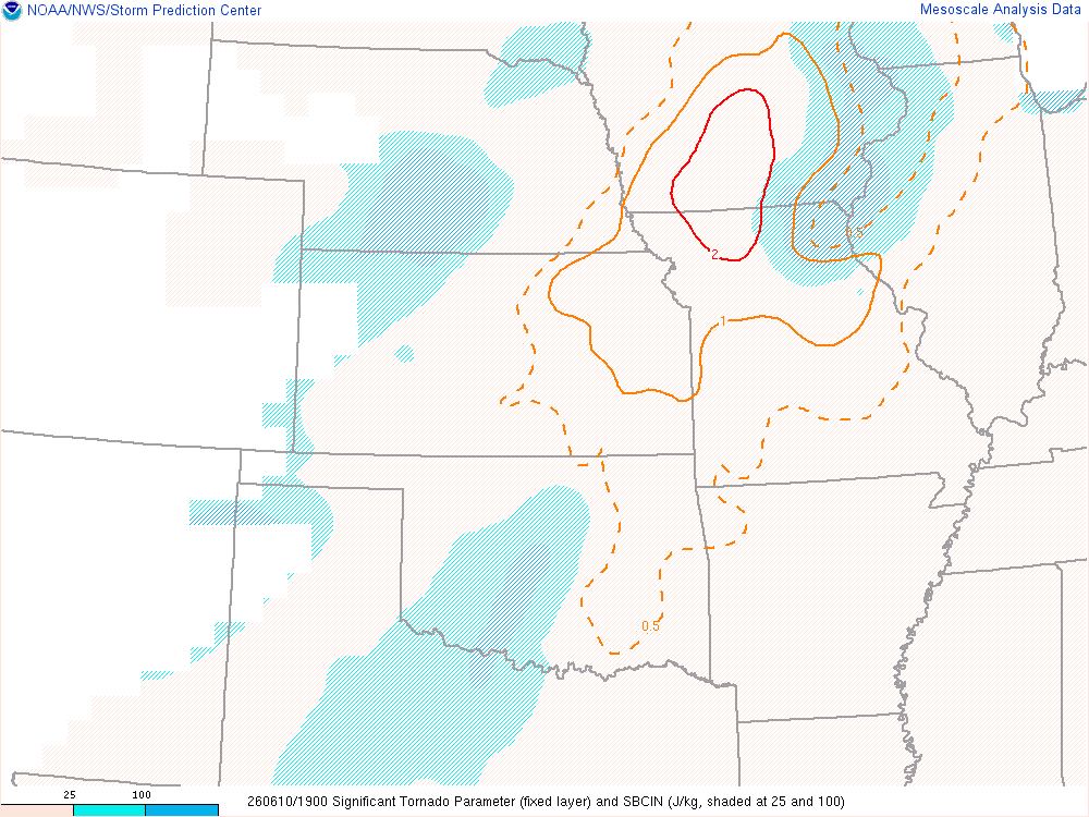
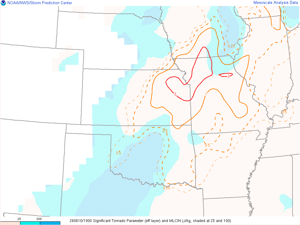
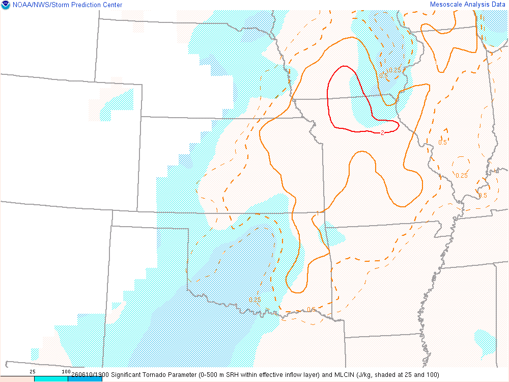
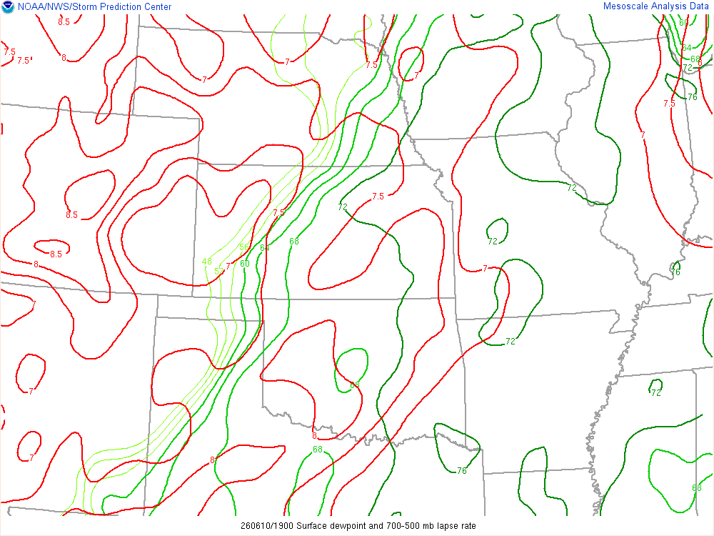
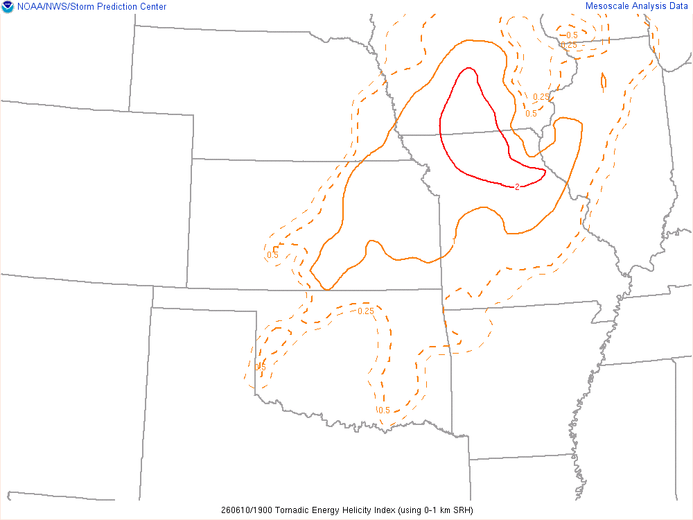
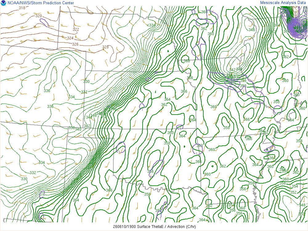
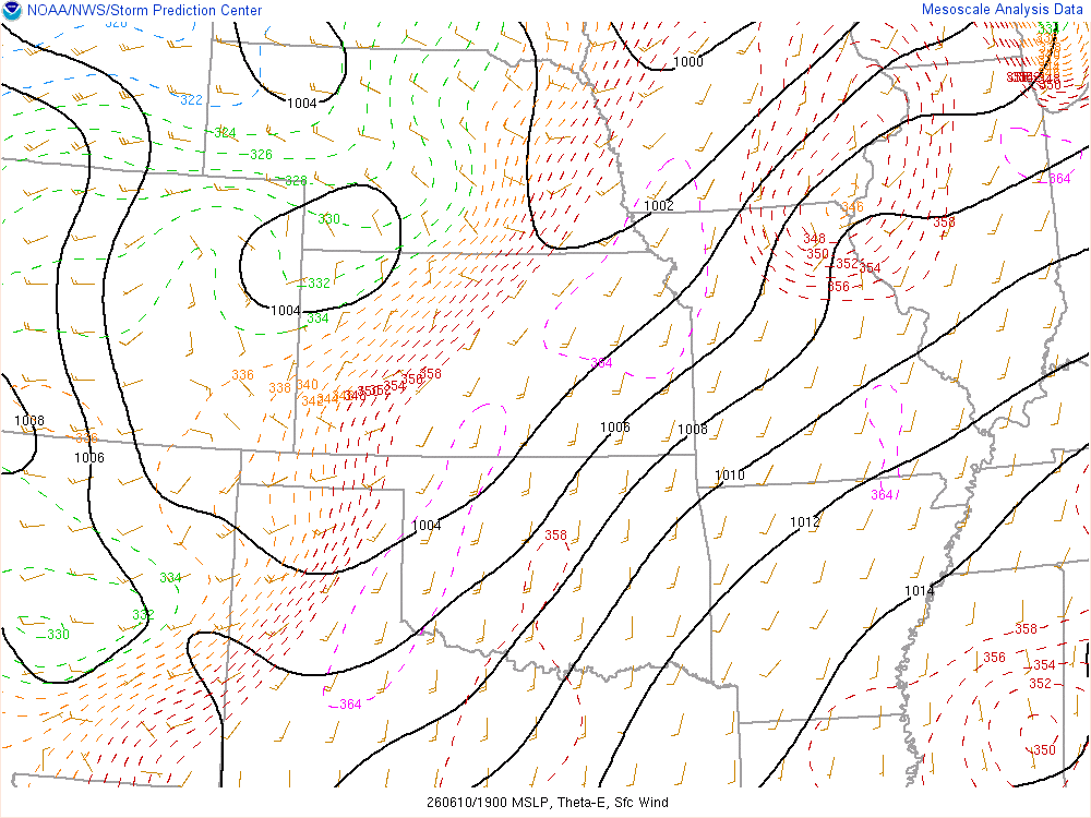
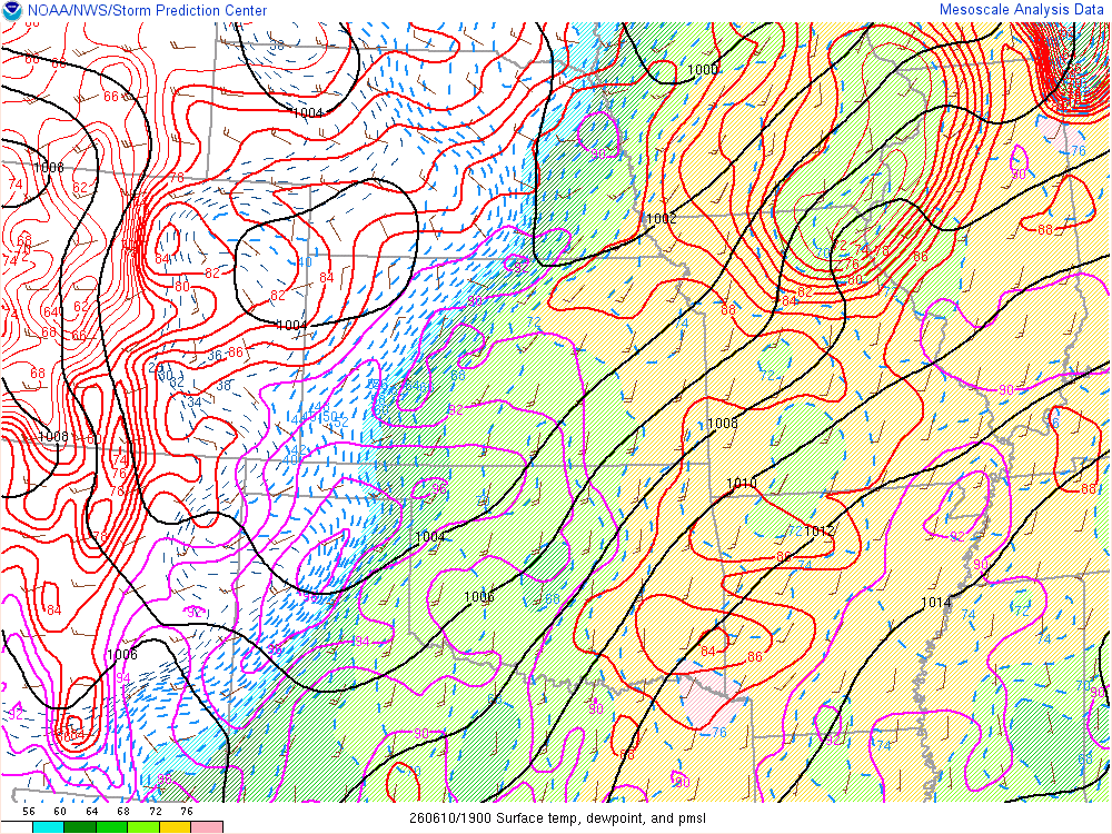
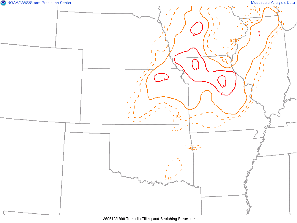
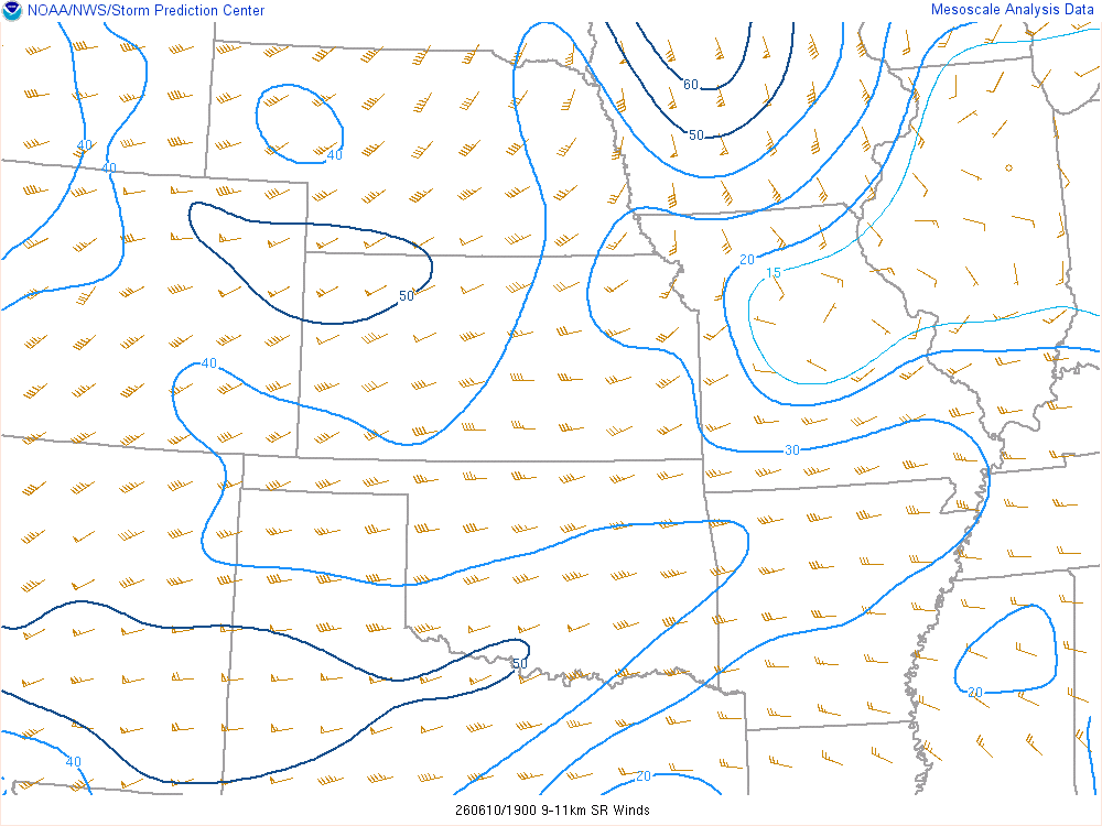
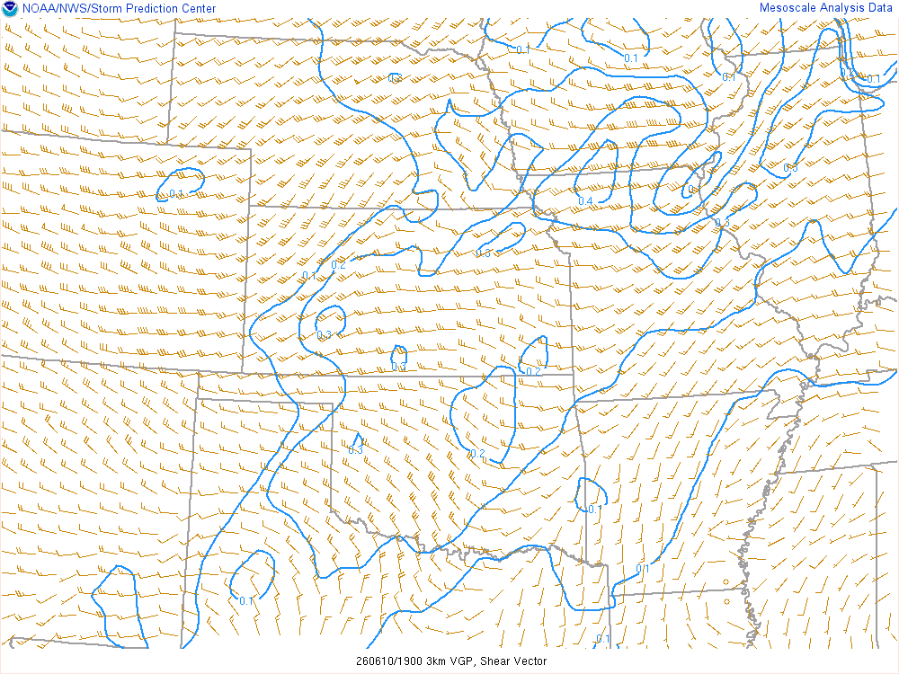
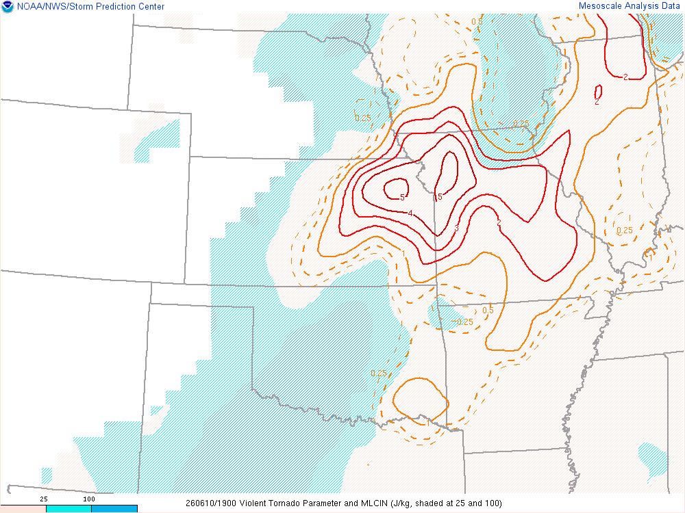
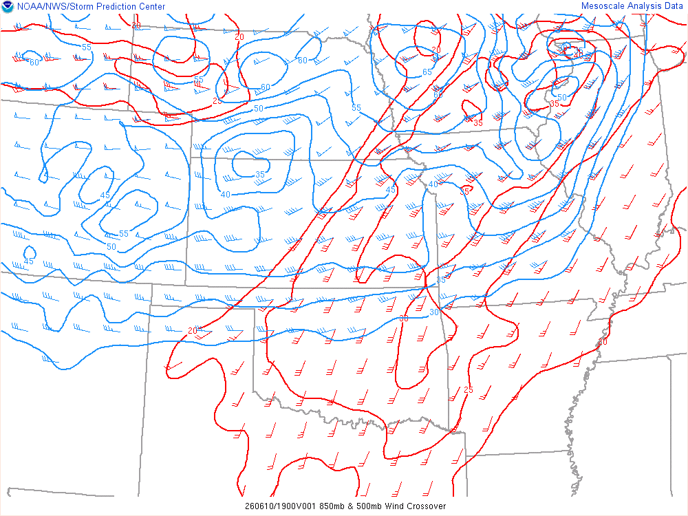
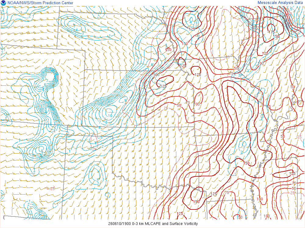
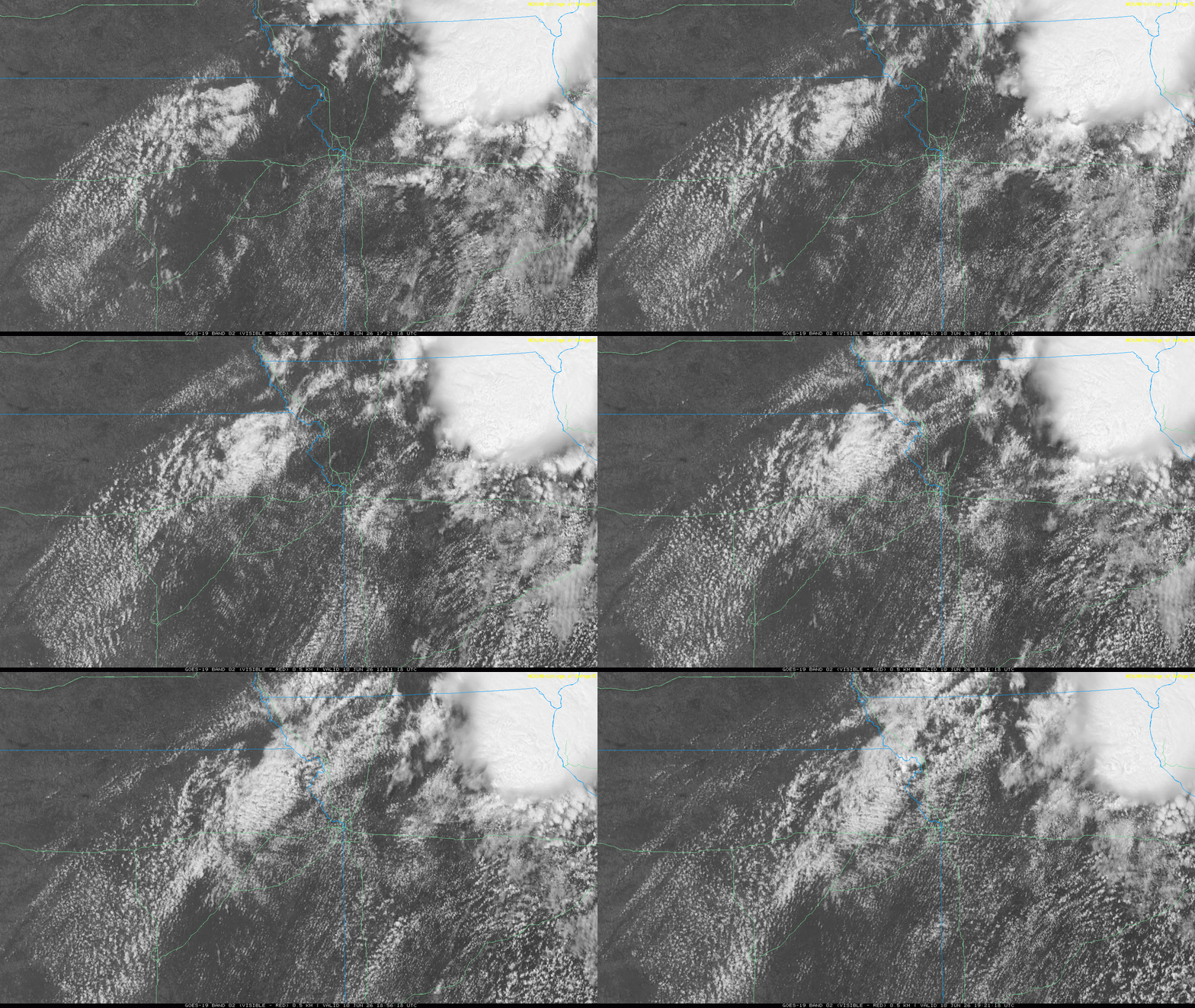
The MCS was working its way through Northeast Missouri, with a lot of recovery in its wake. At this point, Convection Initiation was underway with one storm near the Missouri/Iowa border which would later produce the Unionville tornado. The storm I would go after was forming along the Missouri river north of St Joe.
I departed Cameron just before 3pm and started up I-35. I just went a few miles up to state highway 6 near Alta Vista. The storm firing along the river was in its infancy, but had a decent look to it.
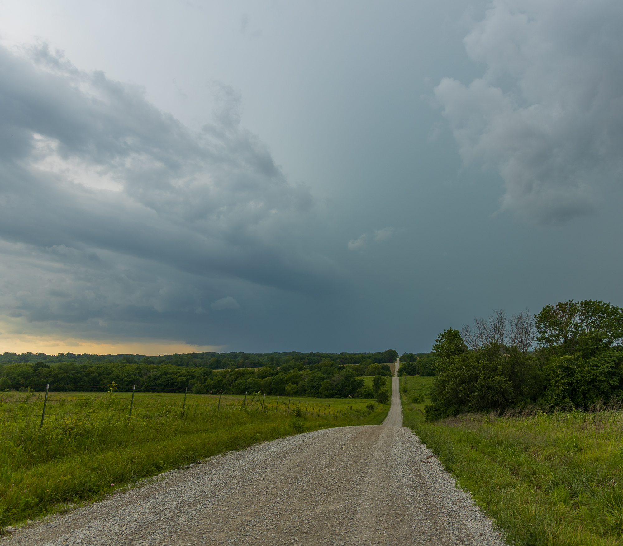
The look at the storm from Weatherby (State Highway D and Gospel Rd) at 3:25 pm CDT looking west
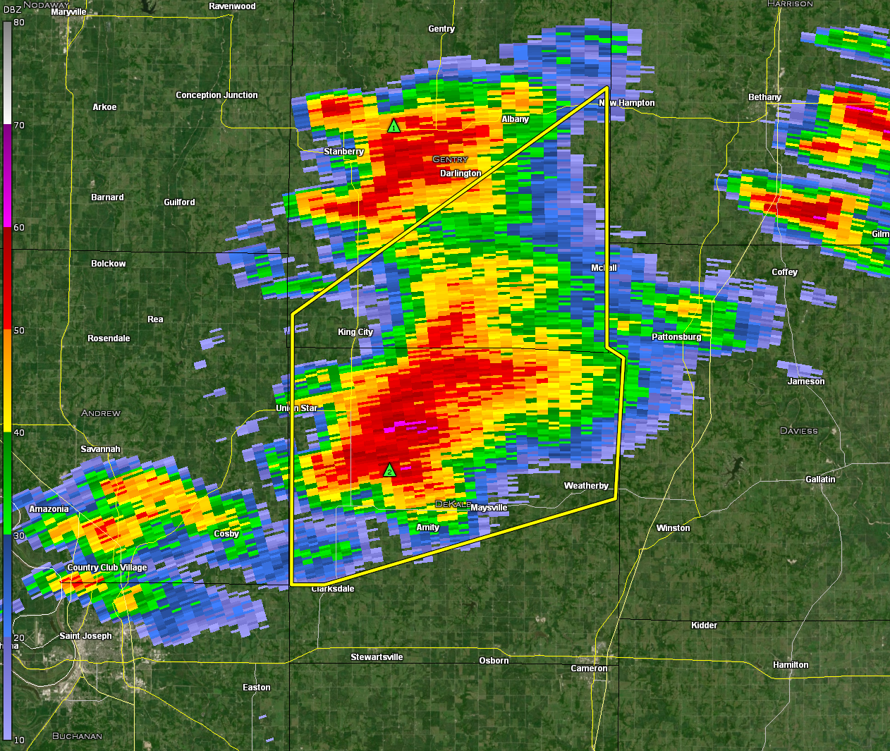
Tornado Warning

NWS in Kansas City issued a tornado warning at 337pm for the storm. This possible funnel was visible to me at 3:31 pm. I positioned 5 miles west and got a bit closer, just in case it decided to produce a tornado. By 4:47, I was much closer to the bears cage on the storm. I was still not convinced we would see tornadogenesis, but the storm was looking a tad better.

Weatherby Tornado
I headed back to highway D by 3:50 where I started to observe a lot of rotating rain bands just south of me. I drove south into the circulation, and was littered with leaves. It seems like a circulation beginning at the very least.
I continued east on Crabill road and was able to capture the above footage. Unfortunately, the road network and terrain made chasing very difficult. Instead of trying to trudge through the back roads, I decided to drop south to highway 6 and head back to I-35. Heading north on I-35, I witnessed some decent rotation, but it did not seem to be on the ground at this point.
Jamesport Missouri Tornado
I did some creative navigation to put myself in the notch again. A new tornado was in progress and lofting debris. I made multiple close passes to this tornado near the town of Jameson before continuing to the east.
As the tornado roped out to the northwest of Jamesport, I found my way back to state highway 6. It was there that I ran into the hordes for the first time as I drove through Trenton.
22Z/5pm SPC Mesoanalysis
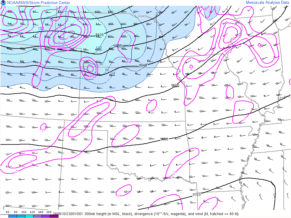
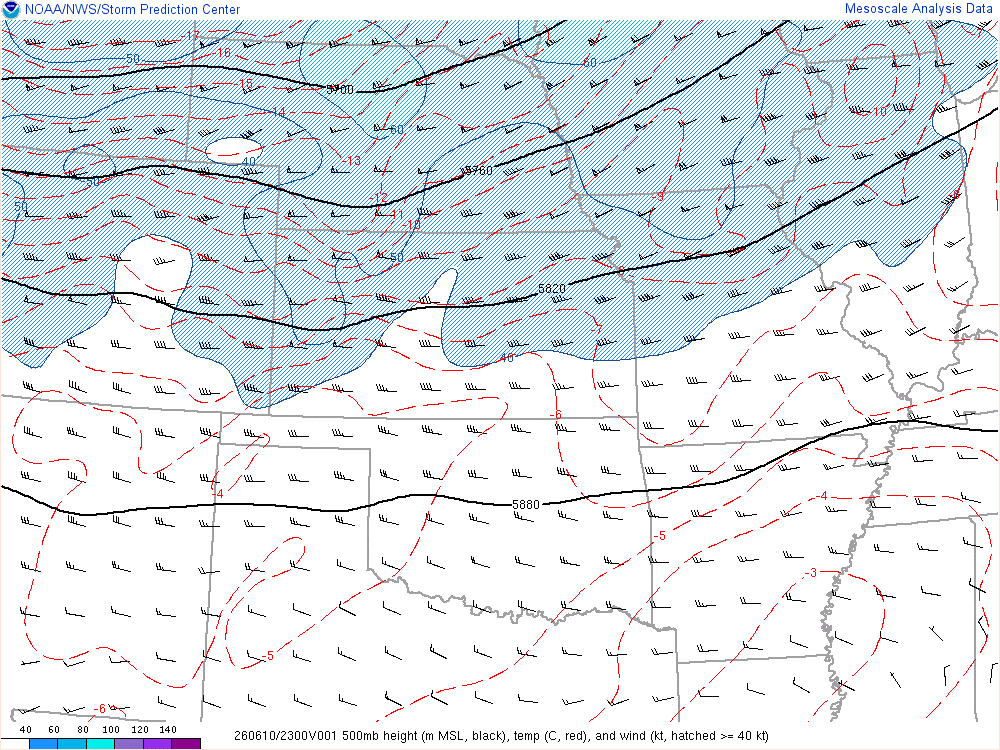
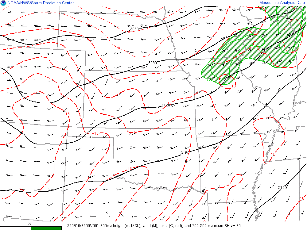
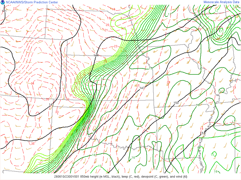
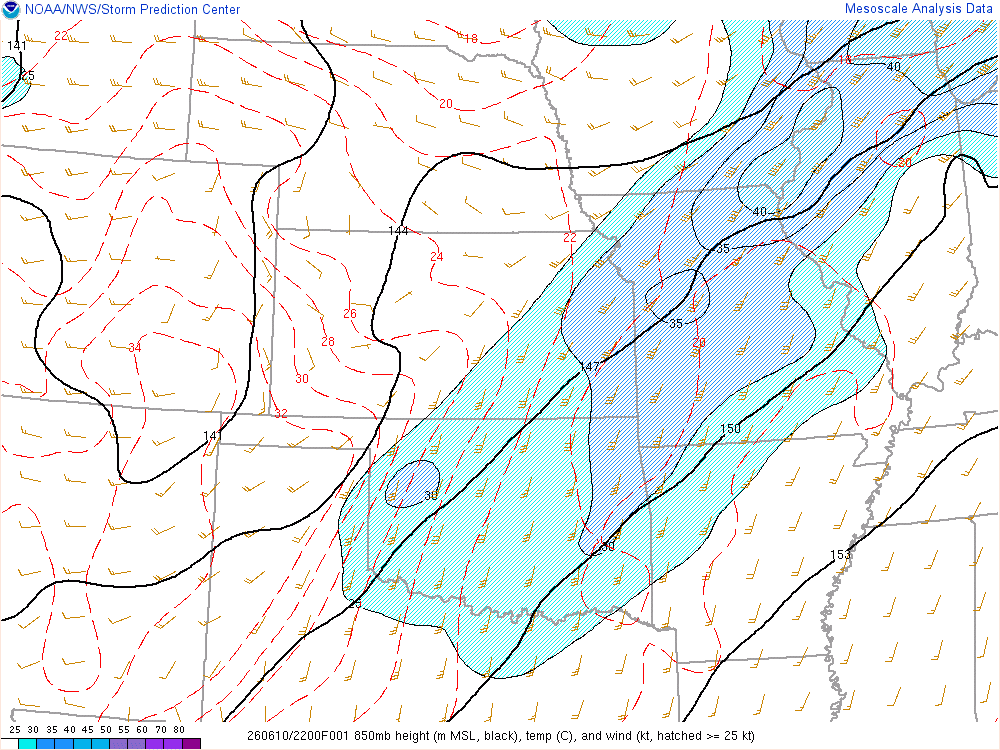
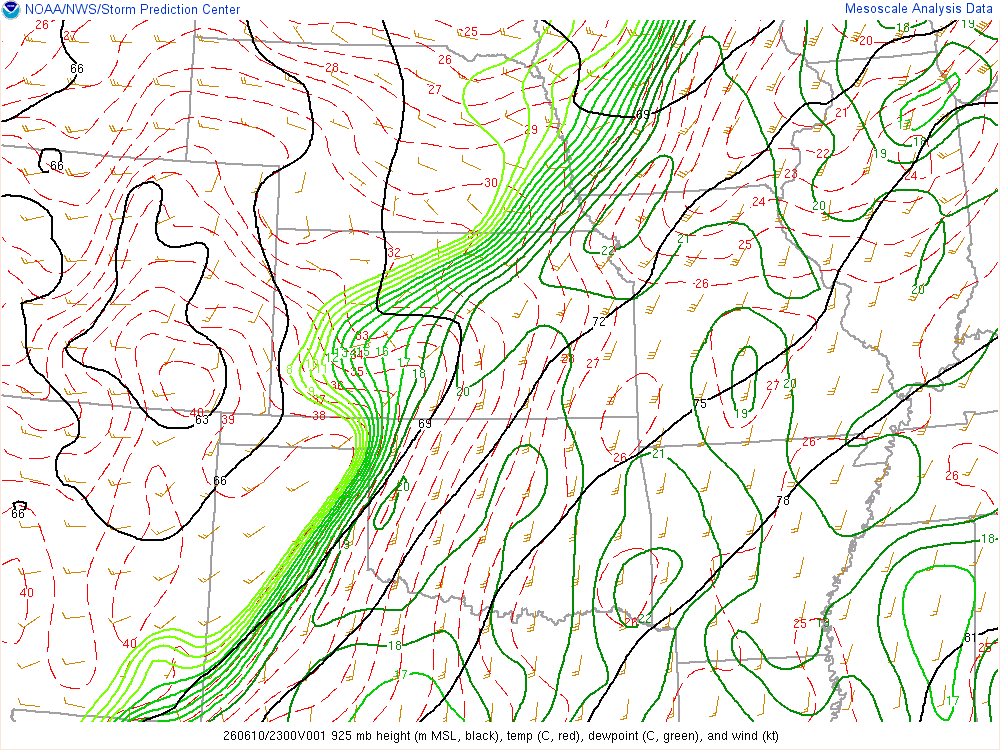
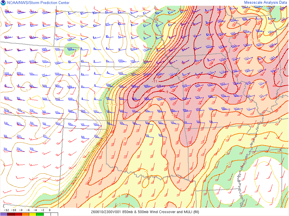
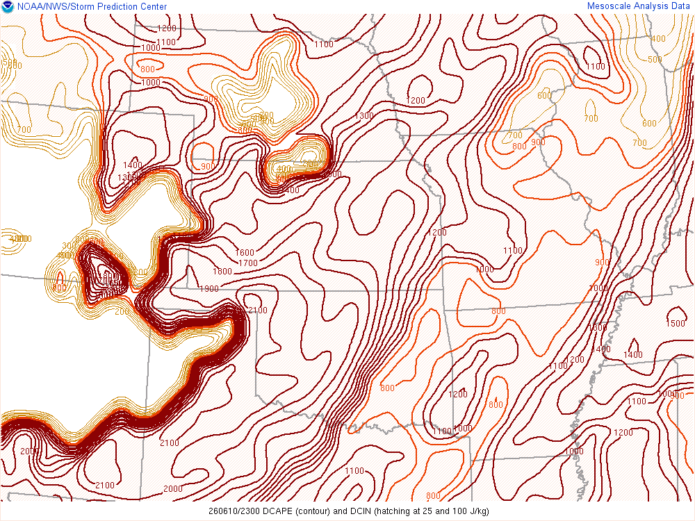
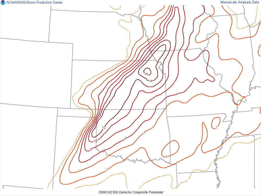
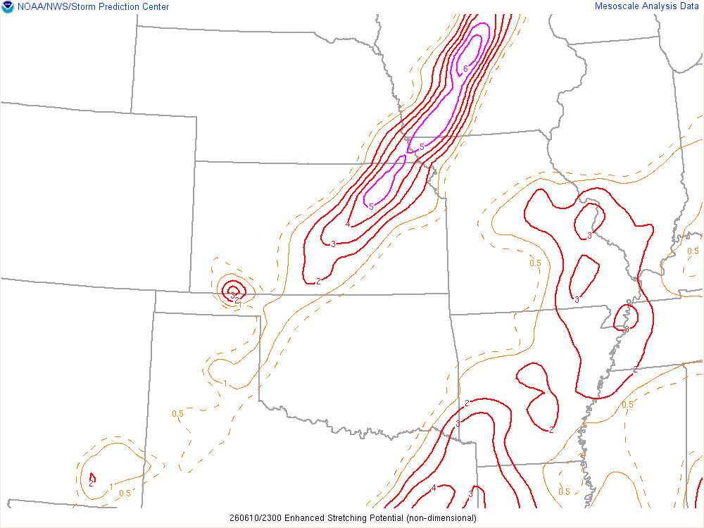
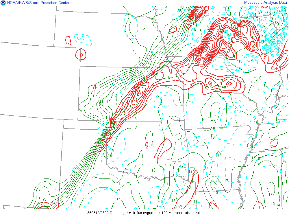
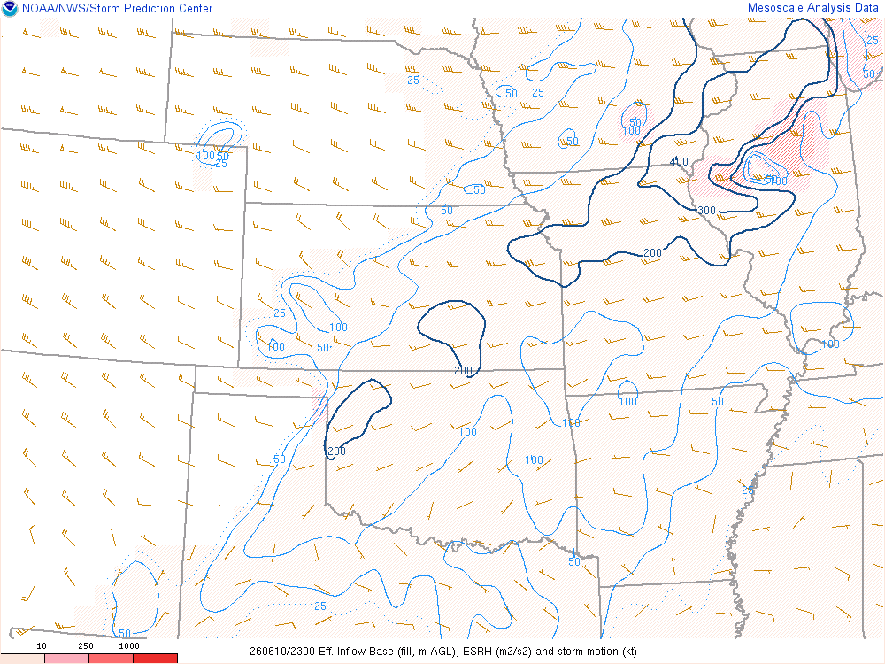
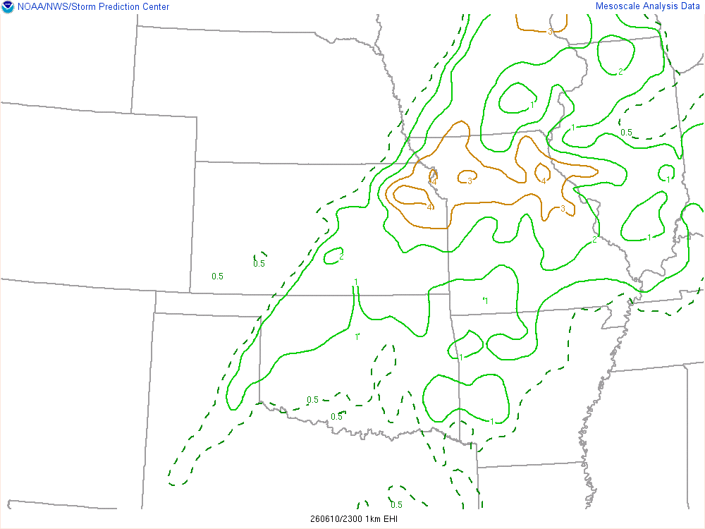
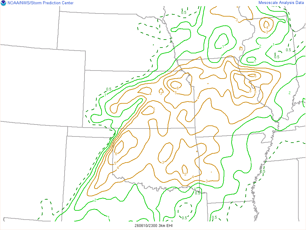
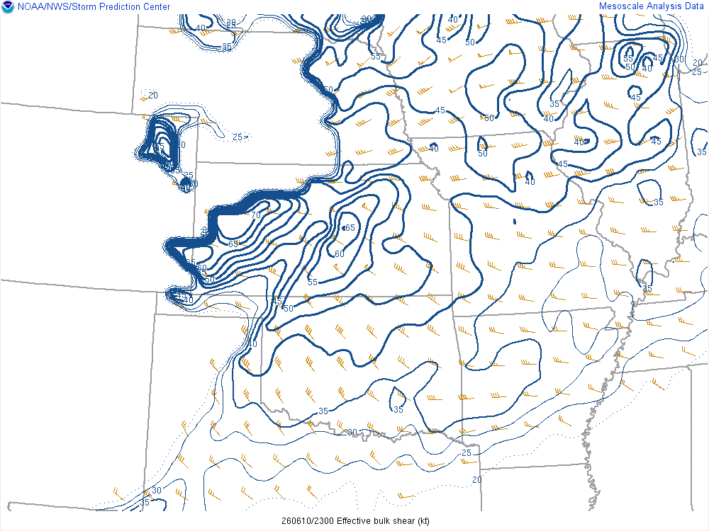
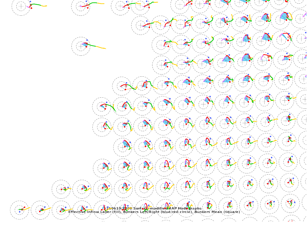
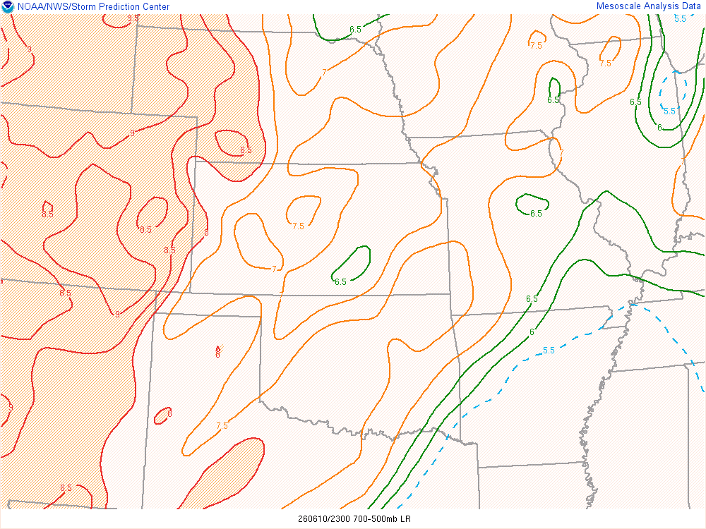
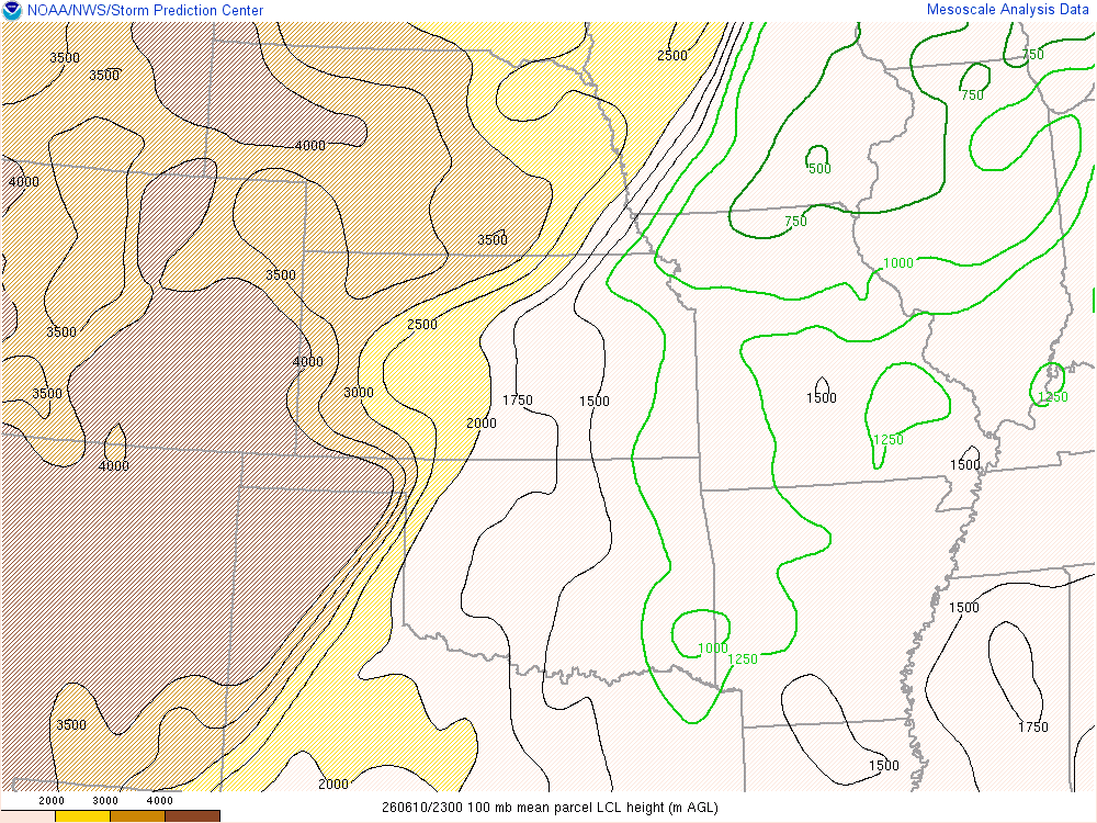
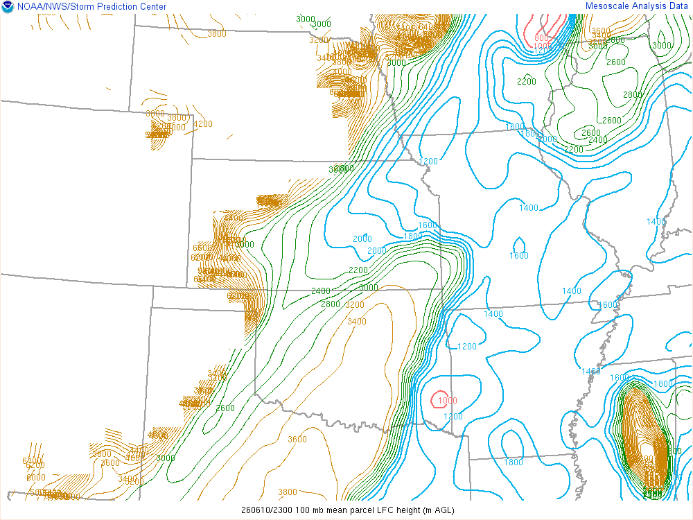
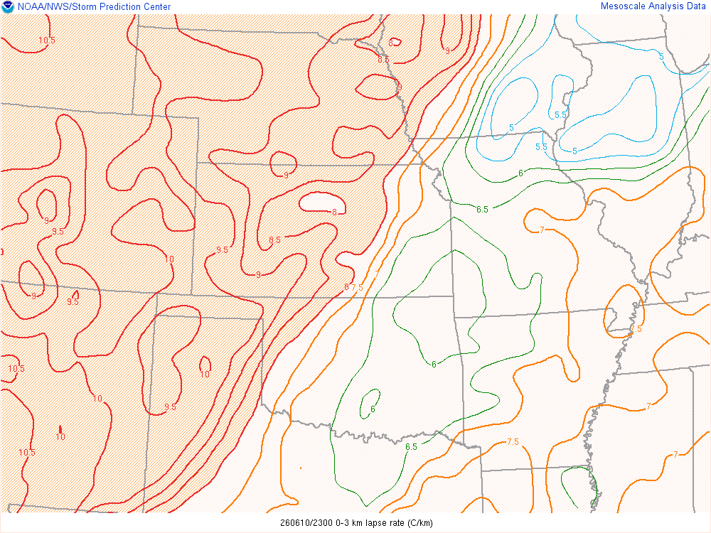
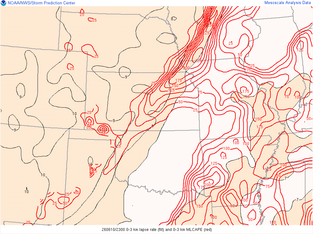
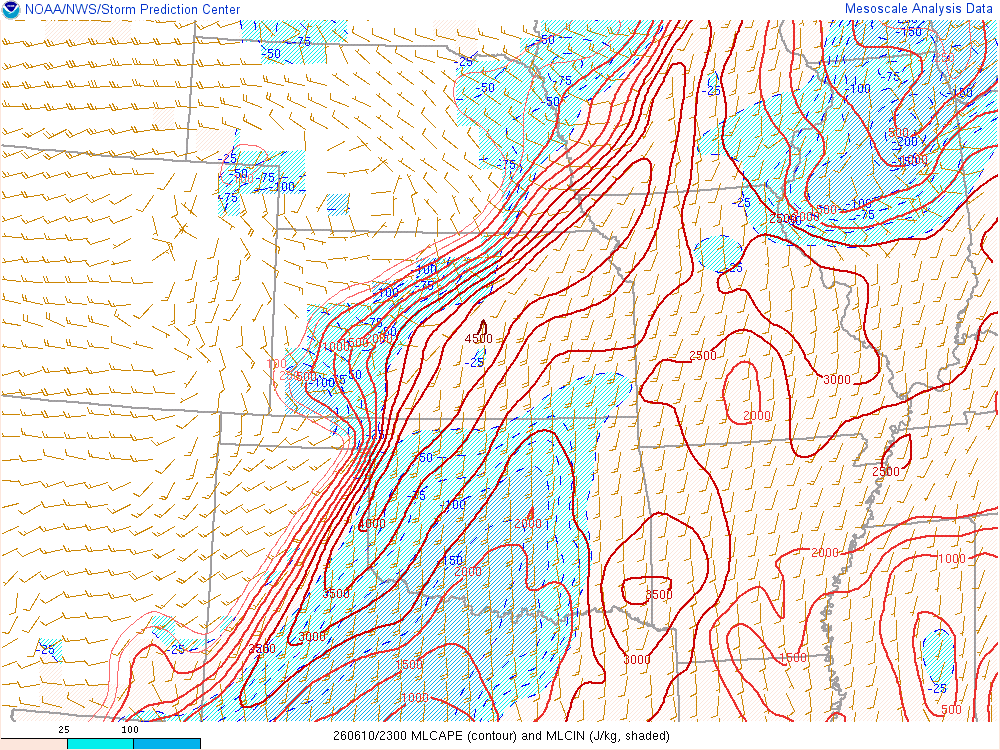
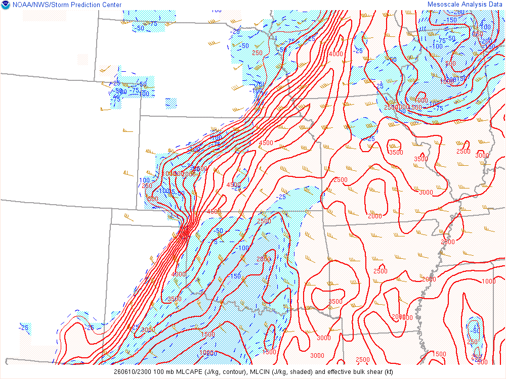
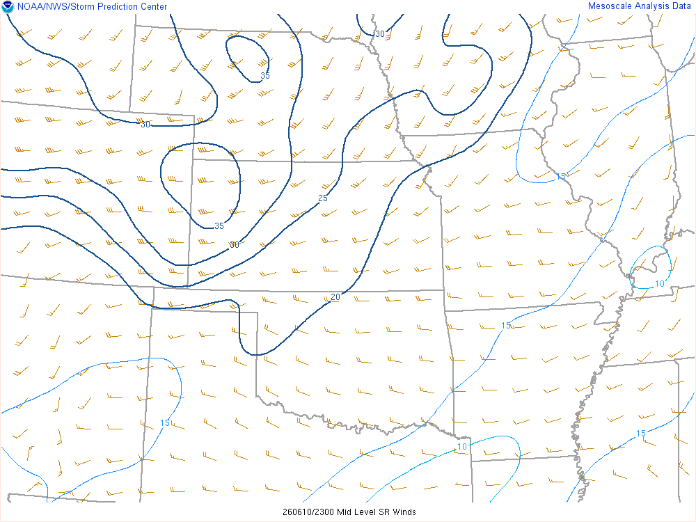
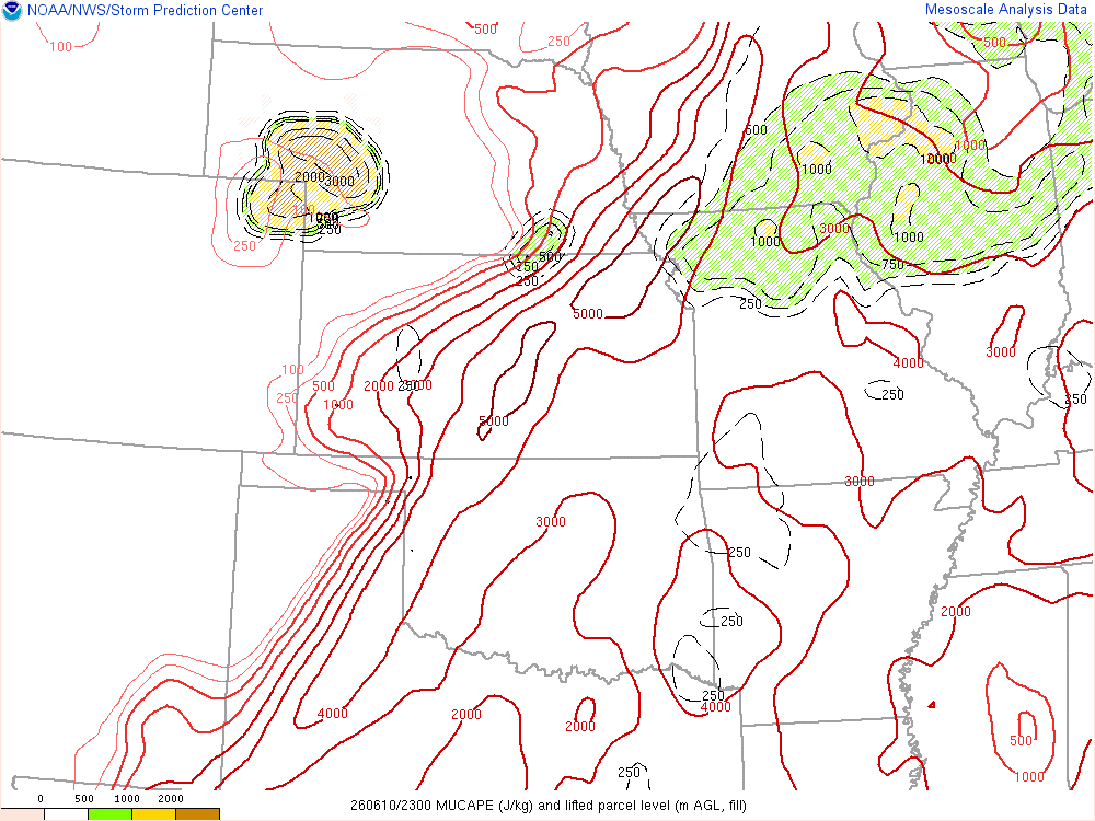
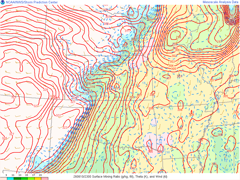
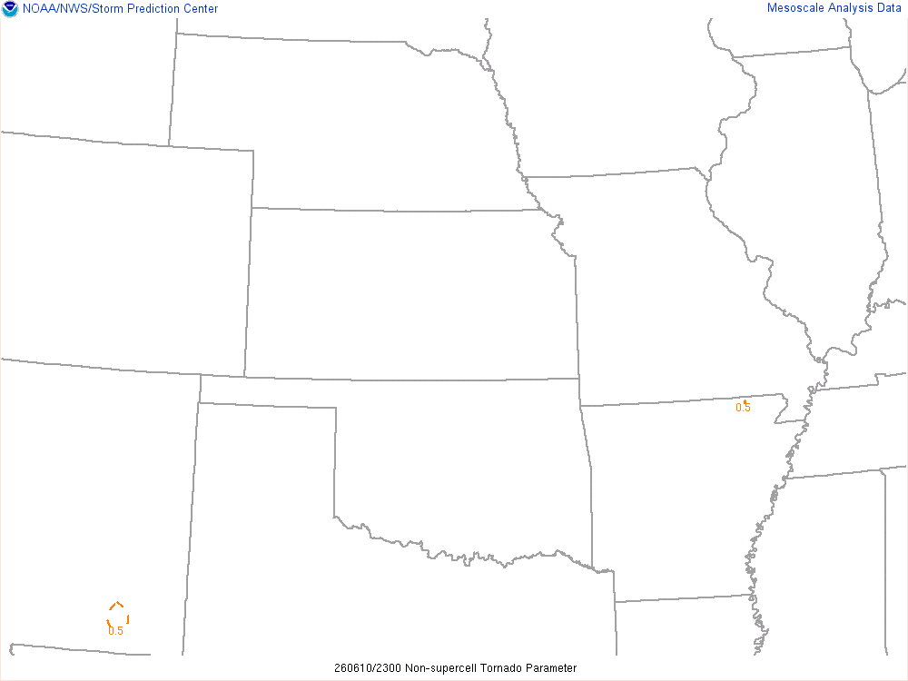
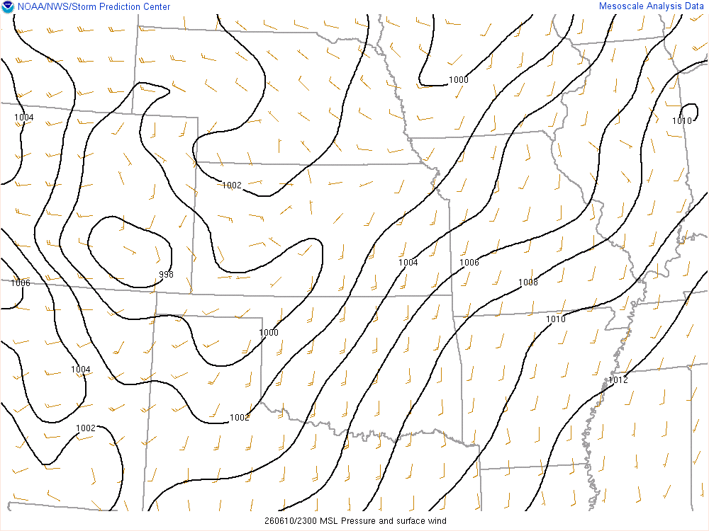
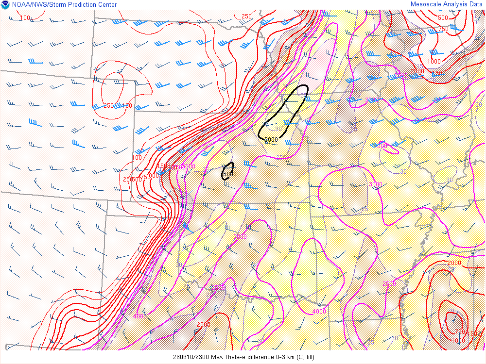
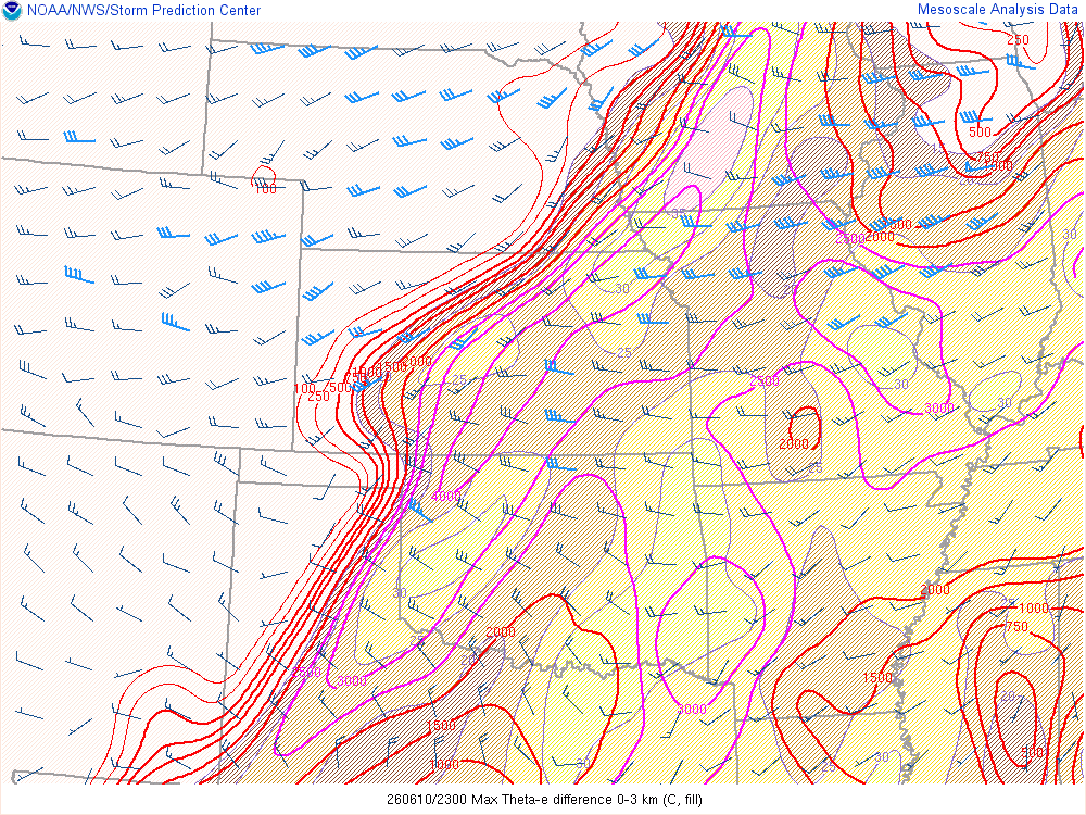
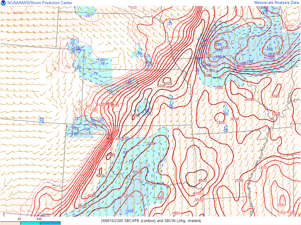
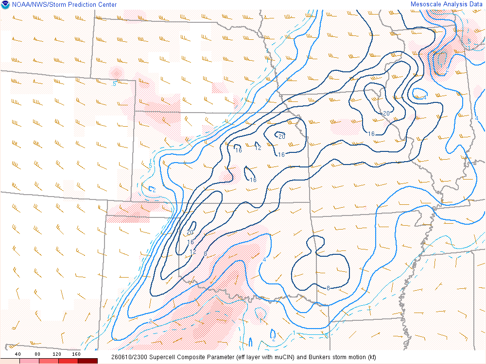
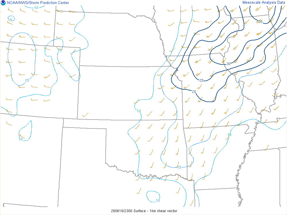
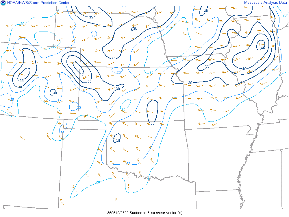
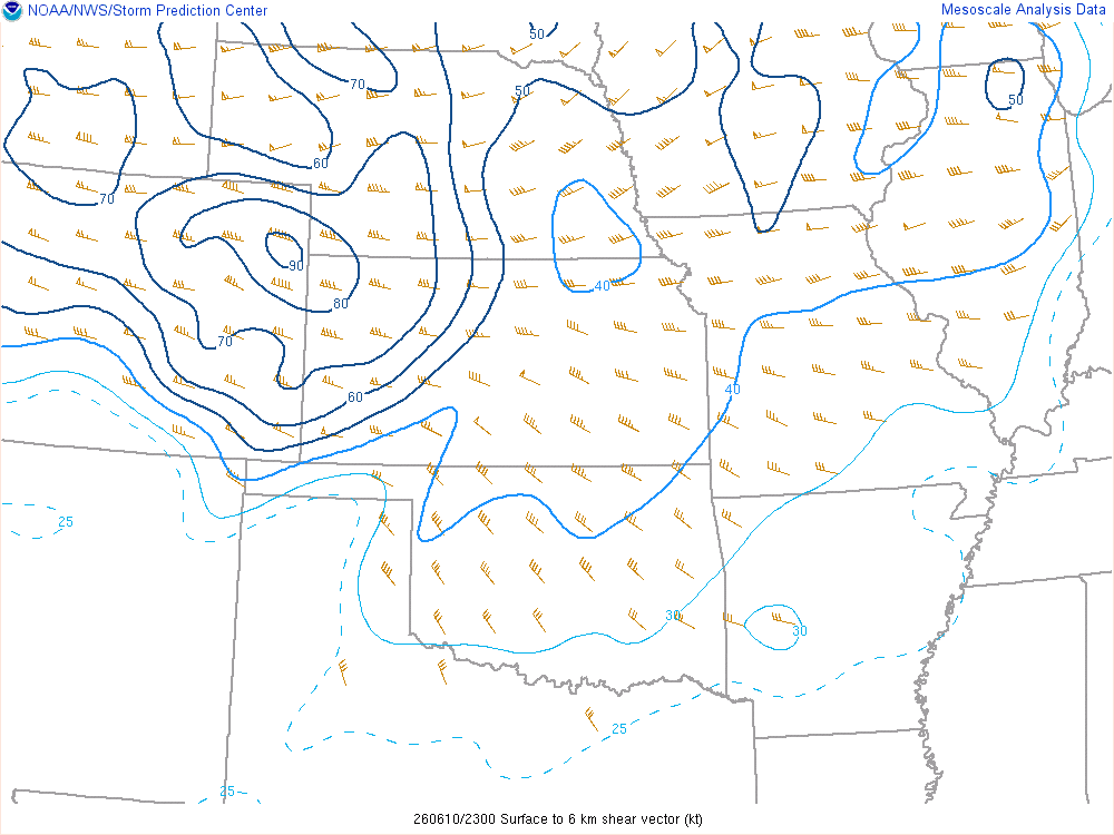
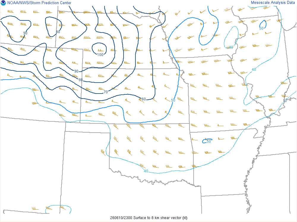
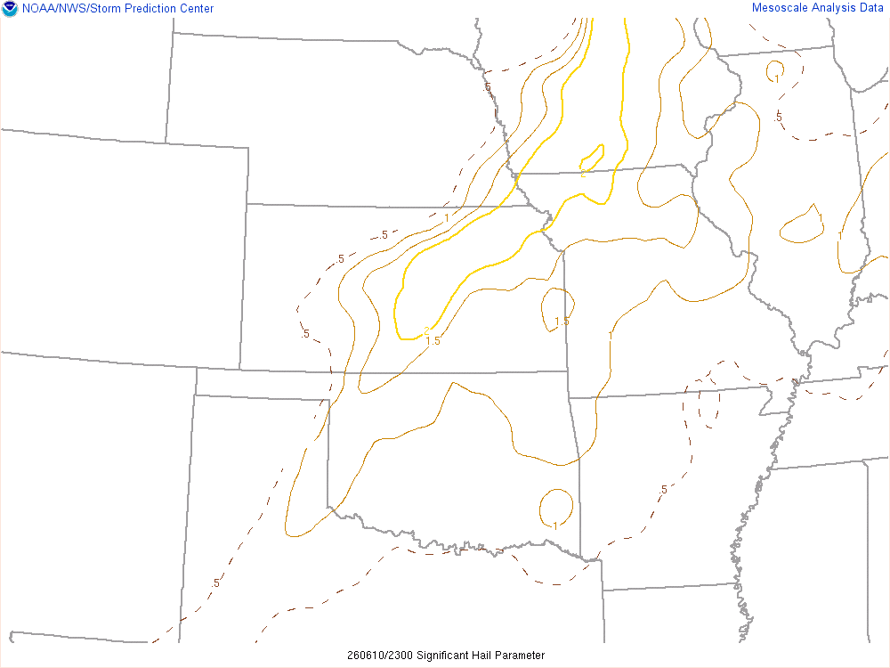
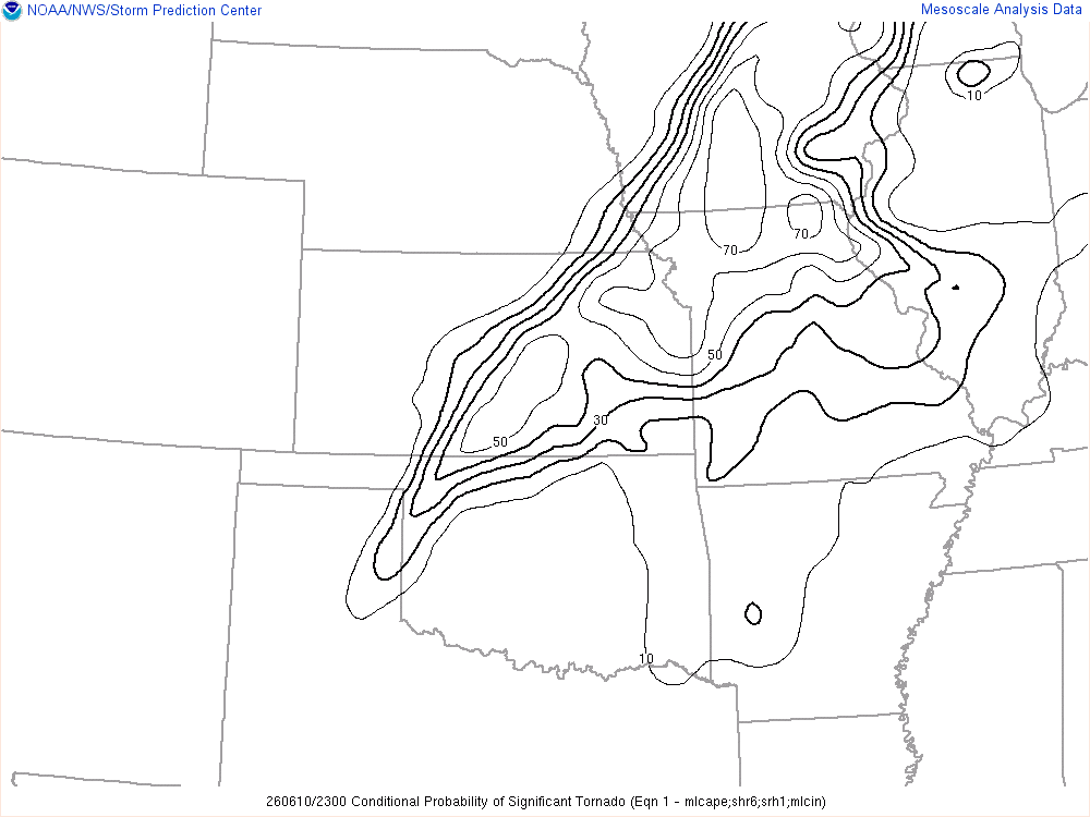
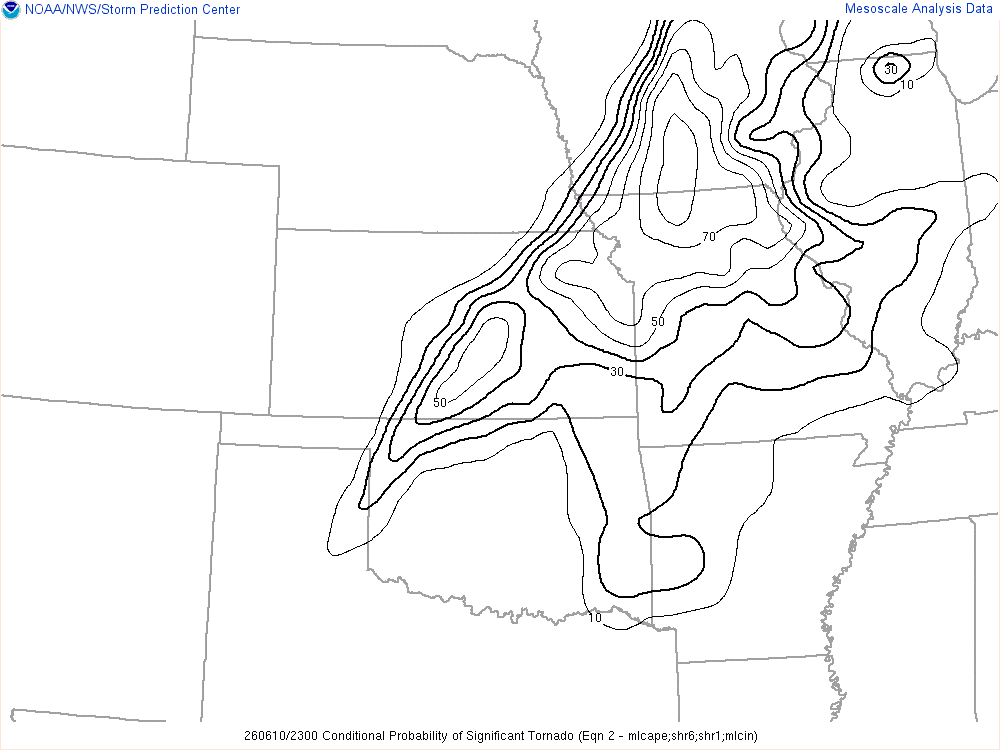
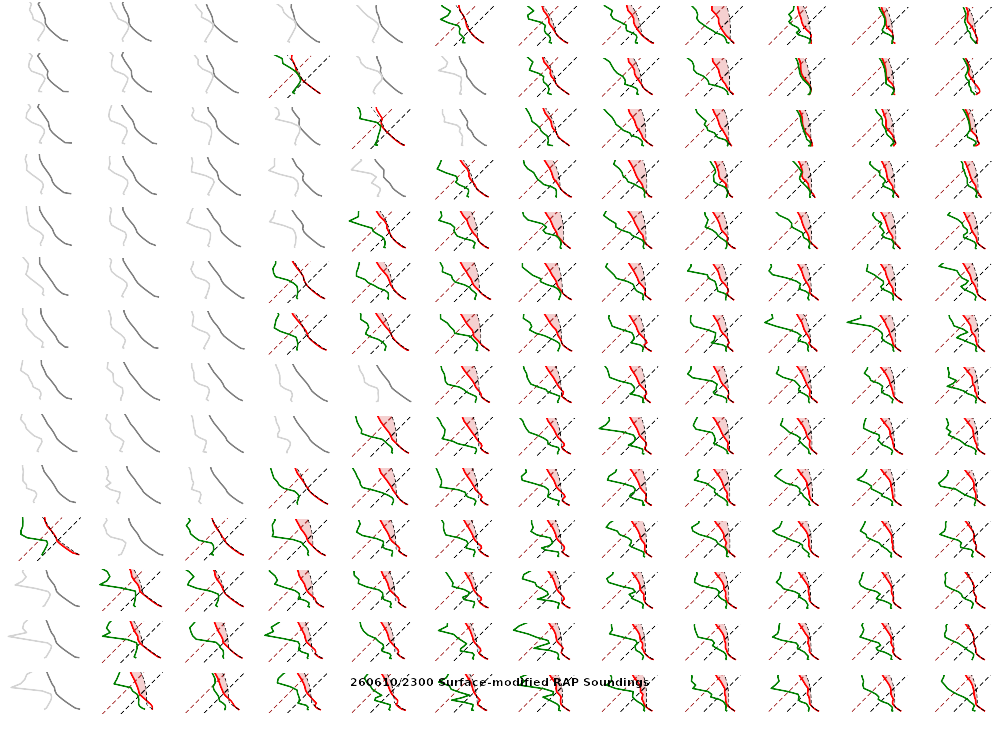
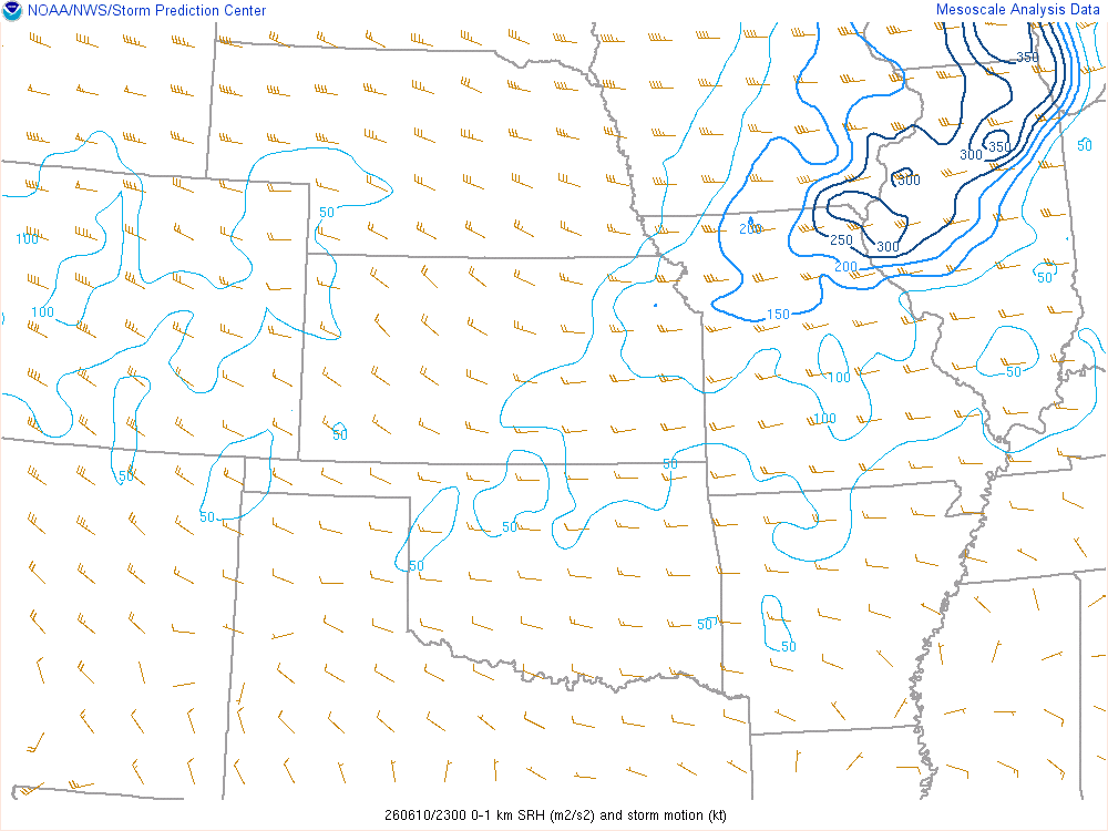
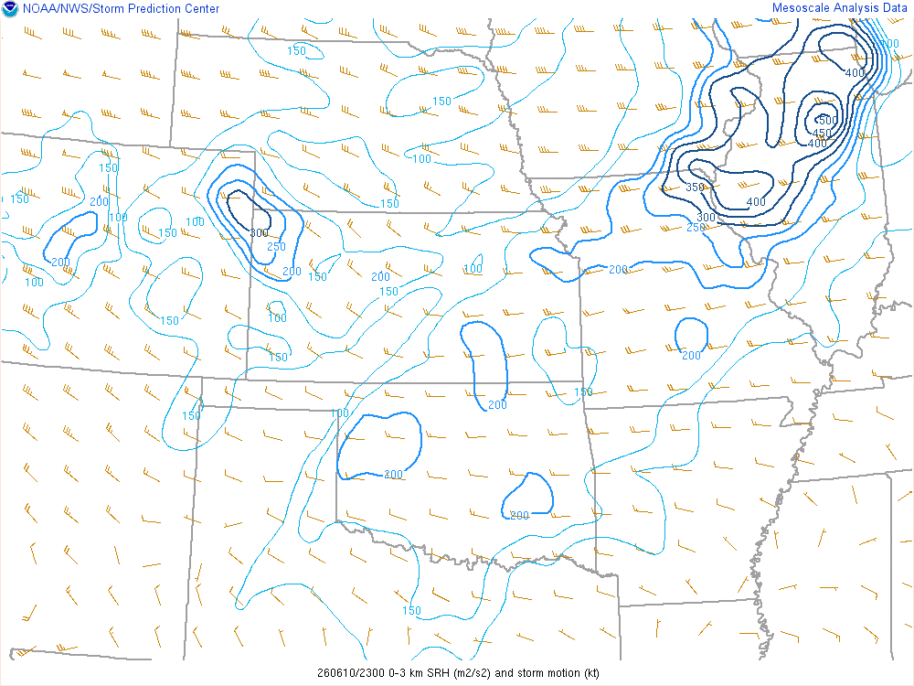
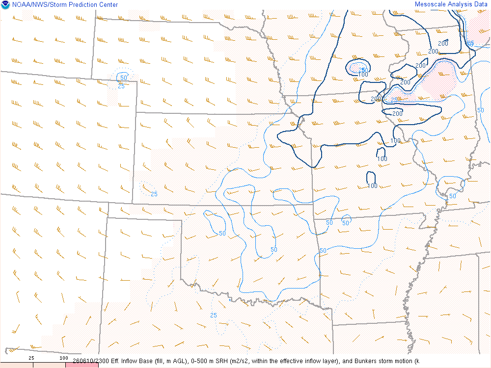
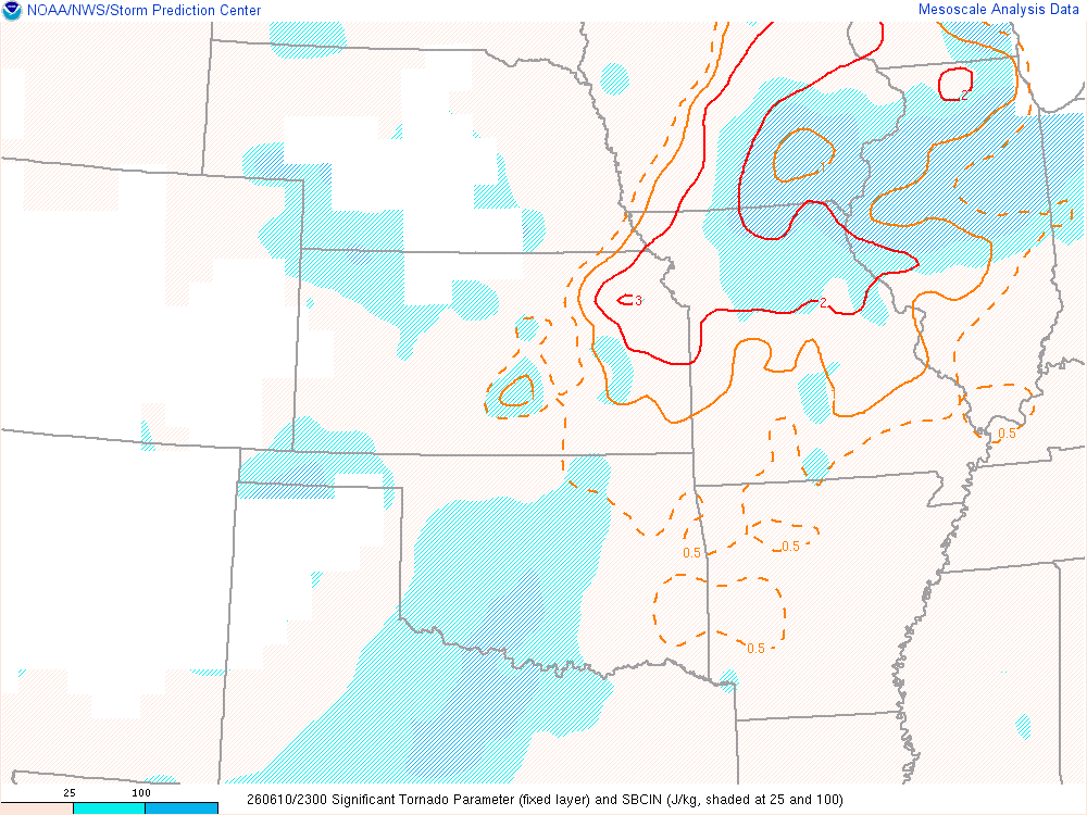
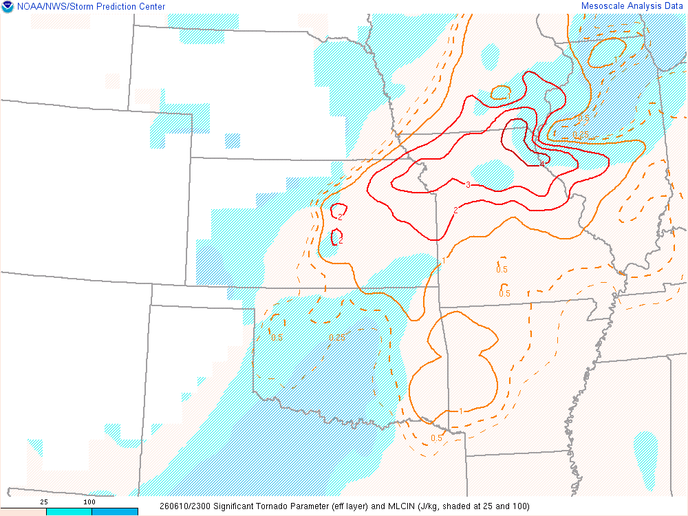
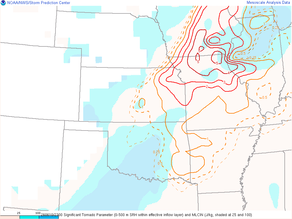
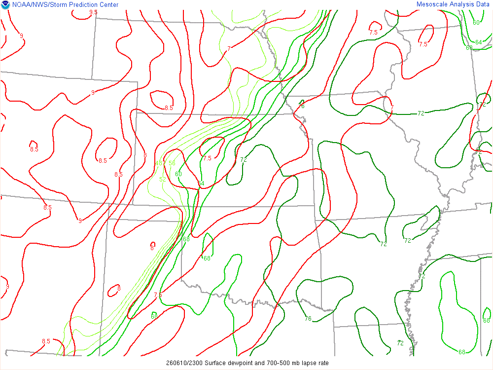
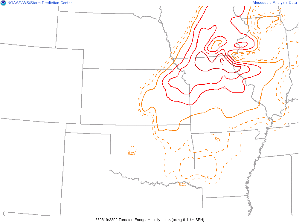
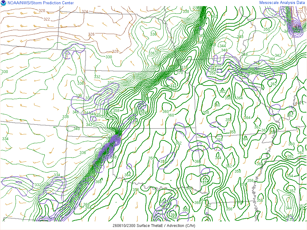
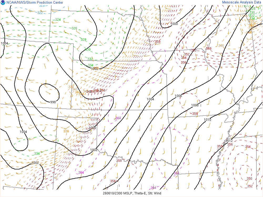
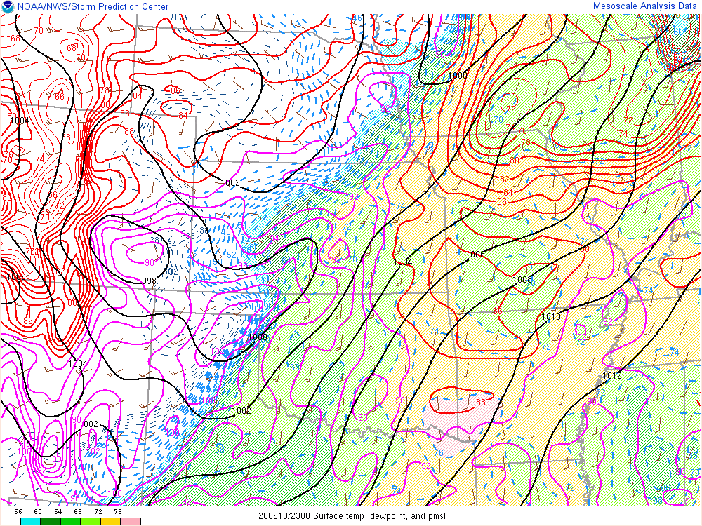
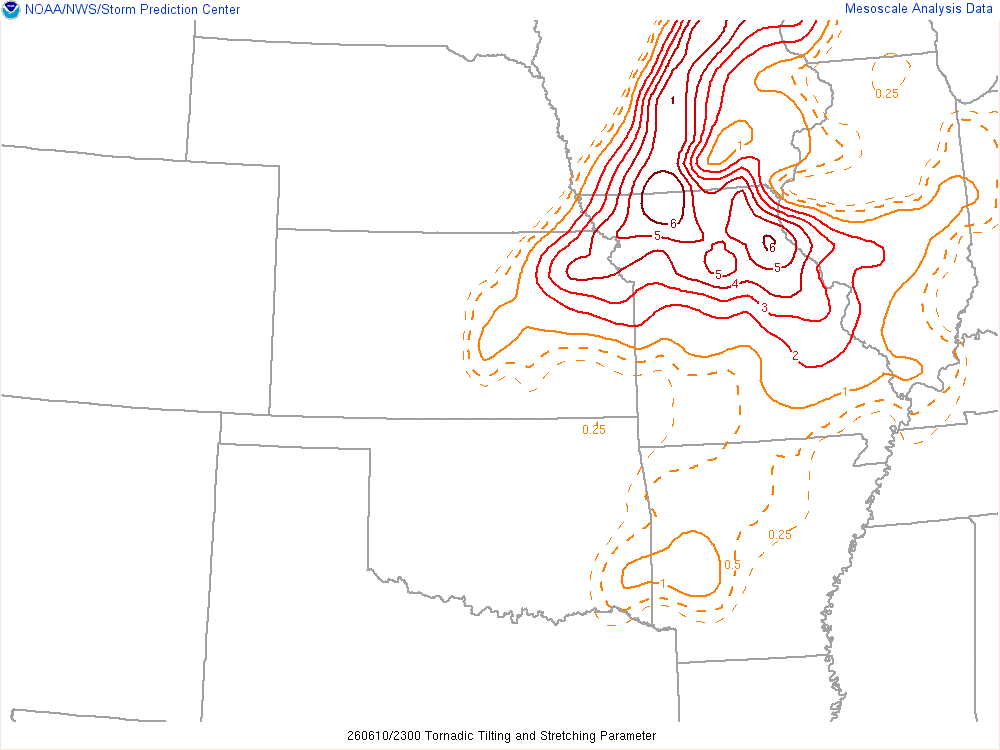
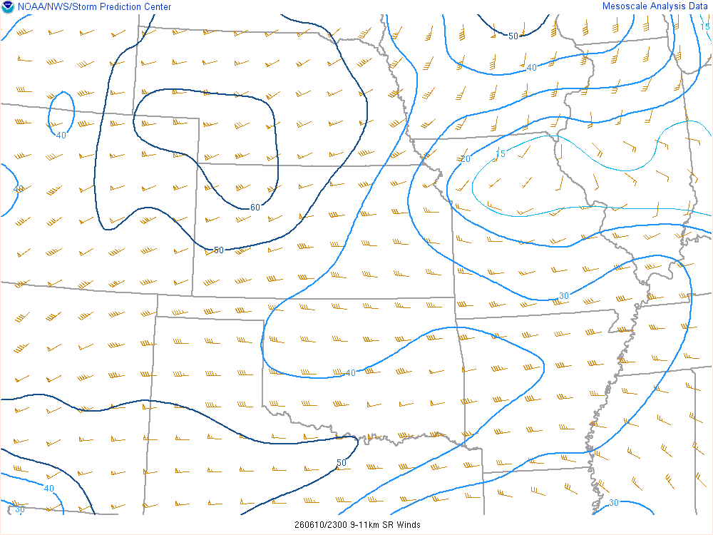
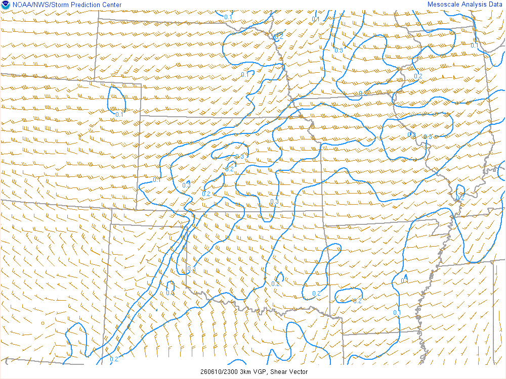
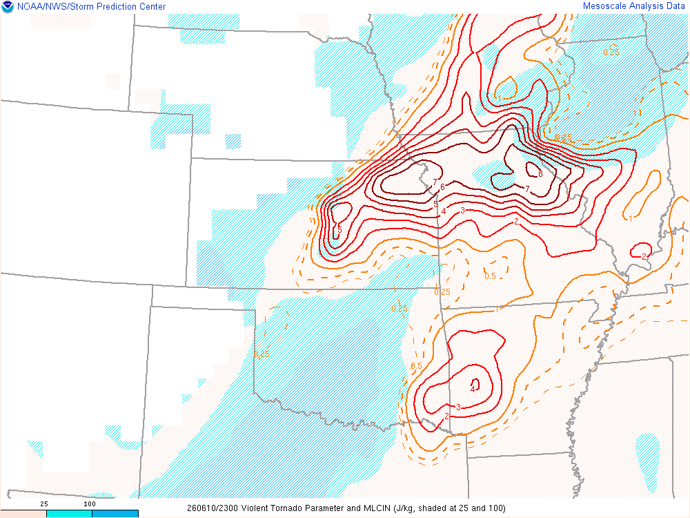
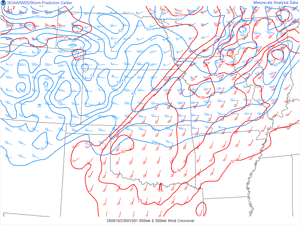
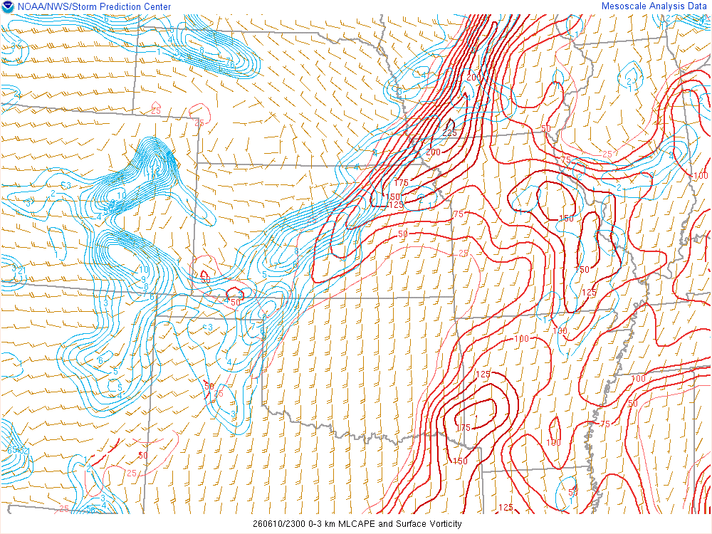
The storm started to get an outflow look as I got east of Trenton. I took this opportunity to get way in front of the storm, heading east towards Browning. It was here I sat and watched the storm come at me, clearly no longer tornadic.
Getting Gas and Booking Hotel
I dropped south on highway 5 down to US36. I was hoping to get a room in Kirksville, but the hotels were sold out. I started searching around and had issues finding a room. Keokuk and Columbia were left, so I chose Keokuk. It would be a bit of a drive, so I started heading straight towards it.
That meant heading due north again from Macon. The storm had produced another tornado near Kirksville while I was getting gas in Macon. I headed north to La Plata and then east, eventually outrunning the storm on my way to Keokuk.
I had enough time to unload my vehicle and get my gear in the hotel before the downpour came. I tried finding food and ended up settling on the Pizza Hut.


